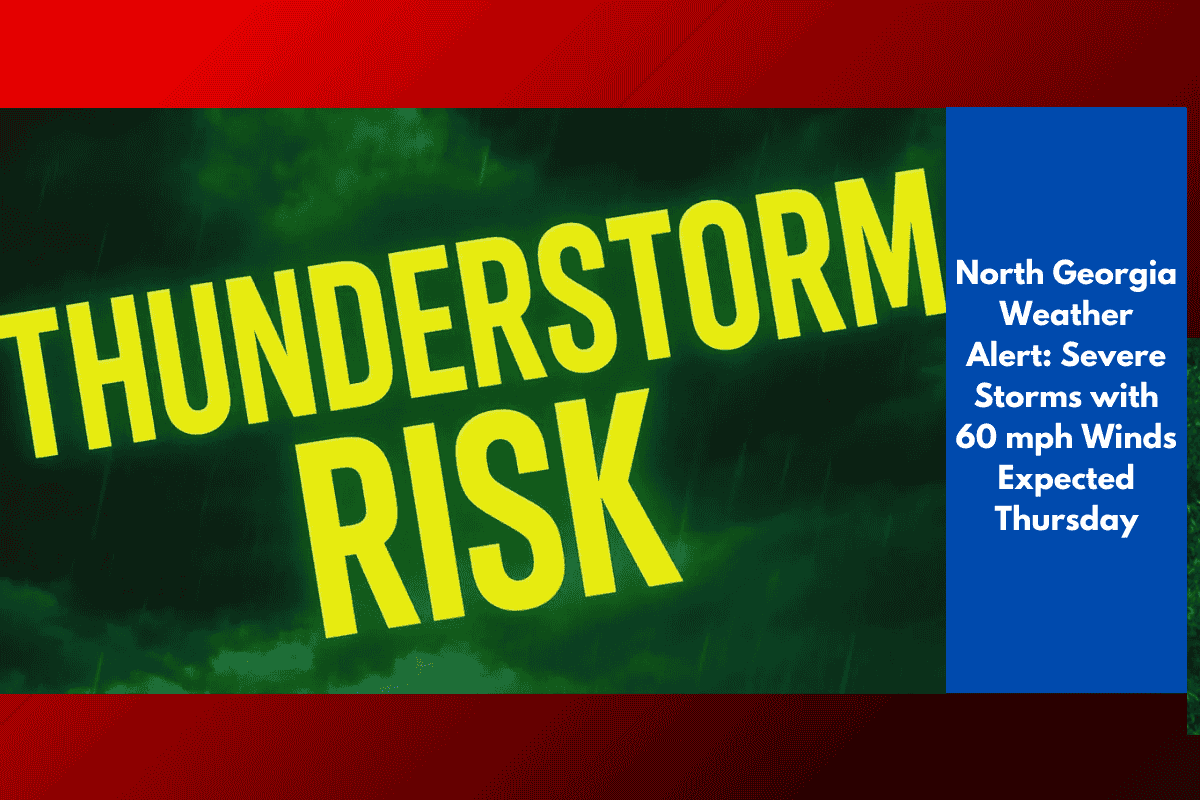
People across North and Central Georgia should be on alert this Thursday afternoon and evening as strong thunderstorms are expected to roll through the region. According to the National Weather Service in Peachtree City, these storms could bring wind gusts up to 60 mph, posing a risk to trees, power lines, and evening travel.
When and Where the Storms Will Strike
The storm threat is expected to be strongest between 2 p.m. and 10 p.m. on Thursday. The greatest impact area includes:
North Georgia cities like Dalton, Rome, Gainesville, and Atlanta
Central Georgia could also see scattered storms later in the day
These storms are forming ahead of a slow-moving cold front that’s pushing through the state. As the front approaches, scattered showers and isolated storms are likely to build up during the afternoon.
What to Expect from the Storms
While hail and tornadoes are not a major concern, isolated storms may still cause:
Damaging wind gusts up to 60 mph
Fallen trees and power outages
Sudden downpours that reduce visibility
Hazardous driving conditions, especially during the evening commute
Highways at Risk During the Storm
If you’re planning to drive on Thursday afternoon or evening, be especially careful on these major routes:
I-75
I-85
I-20
Heavy rain could lead to slick roads and low visibility, particularly during peak traffic hours. It’s a good idea to slow down, turn on your headlights, and leave extra space between vehicles.
How to Prepare Before the Storms Hit
Even if the storm coverage is scattered, localised damage is still possible, so it’s wise to get ready. Here are some safety steps:
Secure loose outdoor items like chairs, umbrellas, and trash bins
Avoid parking under trees or near power lines
Charge your phone and power banks in case of outages
Stay informed by checking weather apps and local news updates
Also, consider adjusting your travel plans if possible to avoid being on the road during the peak storm window.
What Happens After Thursday?
The risk of severe weather is expected to fade late Thursday night, but forecasters say showers and some thunderstorms may continue into Friday as the cold front moves further south.
While the worst of the weather is expected Thursday afternoon and evening, it’s still important to stay weather-aware through Friday morning, especially if you’re in southern parts of the state.