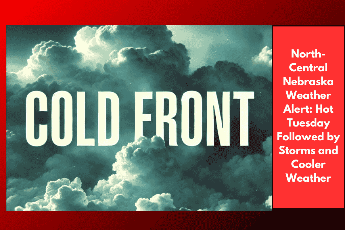
People living in North-Central Nebraska should be ready for a mix of very hot weather and strong thunderstorms on Tuesday. The temperature could go as high as 100°F before a cold front arrives, bringing relief and lower temperatures from Wednesday onwards.
Hot and Stormy Tuesday Ahead
On Tuesday afternoon and evening, the weather in Nebraska is expected to take a dramatic turn. The National Weather Service in Hastings has said that thunderstorms will likely form in north-central Nebraska and then move southeast as the day goes on.
These storms could bring strong winds, especially in areas like Grand Island, Kearney, and Hastings. Some wind gusts could reach up to 60 miles per hour. Because of this, there’s a “slight risk” of severe weather across most parts of the state.
Advice for Residents and Drivers
People living in or traveling through Nebraska should be extra careful on Tuesday, especially on highways like US-281 and I-80. The storms may come quickly and without much warning. Driving during these conditions can be dangerous due to strong winds, rain, and possible flying debris.
Residents should secure loose outdoor items like garden furniture or garbage bins. It’s also a good idea to charge mobile phones and avoid traveling unless it’s necessary once the storms start.
Relief on the Way with Cooler Weather
The good news is that the cold front will bring much cooler air starting late Tuesday night and into Wednesday. This change will not only end the extreme heat but may also bring some scattered rain showers, especially by Wednesday evening.
While the chance of thunderstorms will decrease by the end of the week, weather officials are advising everyone to keep checking for any updates, warnings, or new advisories that may be issued.
What to Expect This Week
The early part of the week will be very hot and possibly dangerous due to storms. But by midweek, cooler and more comfortable weather is expected to settle in. This will offer much-needed relief to the people of Nebraska after days of heat.
Make sure to stay updated with your local weather station or trusted news sources. Being prepared and informed can help keep you and your family safe during fast-changing weather conditions.
Nebraska residents should stay alert as extreme heat and strong thunderstorms are likely on Tuesday. Areas like Grand Island, Kearney, and Hastings could be hit hardest with strong winds and quick-moving storms. After Tuesday night, a cold front will bring cooler temperatures and a chance of rain, especially on Wednesday evening. The weather should calm down later in the week, but it’s still important to follow any updates from the weather department to stay safe. Taking simple steps like securing outdoor items and avoiding travel during storms can make a big difference during such unpredictable conditions.