New York, NY – A surge of summer heat is set to hit New York on Thursday, July 24th, with sunny skies and highs near 84°F. The rising temperatures, paired with increasing humidity, will set the stage for potential thunderstorms as the weekend approaches. Local officials are urging residents to exercise caution, particularly along major highways such as I-278, I-95, and I-495, where the heat could lead to issues like pavement buckling and sudden weather changes.
According to the National Weather Service, Thursday will start with sunshine, but by the afternoon, south winds will push temperatures into the mid-80s. Roads and sidewalks will heat up quickly, so it’s important to stay hydrated, avoid strenuous outdoor activities during peak afternoon heat, and check on vulnerable neighbors. The risk of pop-up showers increases in the late afternoon, so residents should be prepared for quick weather changes.
Friday and Weekend Forecast
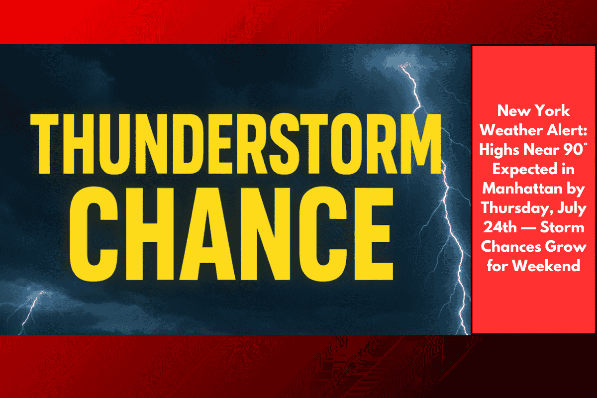
Friday will be even hotter, with highs near 92°F, and humidity making it feel even warmer. Storm chances increase by late Friday and into Saturday, with scattered thunderstorms likely to impact travel—particularly along I-278 and I-495. These storms could bring heavy rain, lightning, and brief delays, especially in the afternoon and evening hours.
Saturday keeps the summer weather pattern going, with highs around 84°F, but the storm risk remains with a 30% chance of storms after 2 p.m. Sunday and Monday will offer some relief, with partly cloudy skies and cooler temperatures in the mid-70s. However, showers may return Monday night, and temperatures will stay steady.
Preparedness Tips:
Stay hydrated and wear light, loose clothing.
Avoid outdoor work in the midday sun to prevent heat-related illnesses.
Check local alerts for traffic updates, especially on Friday and Saturday when thunderstorms are expected.
Secure outdoor items that could be blown by storm winds.
Charge devices in case of power outages during storms.
What’s Next:
Thunderstorm chances will return Saturday night (with a 40% risk) and linger into early next week. Keep an eye out for updates as weather patterns may shift, and more advisories could be issued.
Five-Day Forecast for New York, NY (July 24th – July 29th):
Thursday, July 24: Sunny, high near 84°F. South winds 7–15 mph.
Thursday Night: Mostly clear, low 76°F.
Friday, July 25: Sunny, high near 92°F. Chance of thunderstorms after 5 p.m. (30%).
Friday Night: Mostly cloudy, low 78°F. Showers and thunderstorms likely (30%).
Saturday, July 26: 30% chance of storms after 2 p.m. Partly sunny, high near 84°F.
Saturday Night: 40% chance of storms, mostly cloudy, low around 75°F.
Sunday, July 27: Showers/storms possible after 2 p.m., high 79°F. Chance of rain 40%.
Sunday Night: Mostly cloudy, low near 74°F.
Monday, July 28: Mostly sunny, high 73°F.
Monday Night: 40% chance of showers, low 73°F.
Tuesday, July 29: Mostly sunny, high 87°F.
Prepare for hot conditions through the weekend, with the possibility of scattered thunderstorms affecting travel, especially on major highways. While the heat will persist through early next week, cooler temperatures and a chance of showers will offer brief relief. Stay tuned for further updates as conditions evolve.