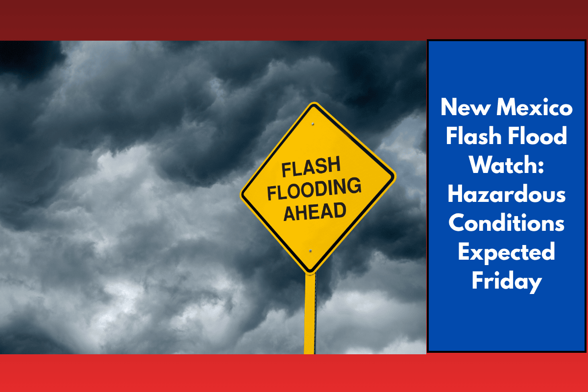
Residents of central and western New Mexico are being urged to stay alert as a Flash Flood Watch is in effect on Friday, from noon to 9 p.m. MDT. Slow-moving thunderstorms are predicted to bring heavy rain, with a particular risk for areas affected by recent wildfires. These storms could lead to dangerous flash flooding, especially in burn scar zones. Here’s what you need to know to stay safe.
Flash Flood Risk: What to Expect
The National Weather Service in Albuquerque has issued a Flash Flood Watch for parts of New Mexico, particularly in burn scar areas. The watch is in effect from noon to 9 p.m. MDT on Friday, with rainfall rates possibly reaching 1.0 to 2.0 inches per hour. This could result in rapid runoff, especially in higher elevations, and eventually extend into lower-lying areas.
Burn Scar Zones: Recent wildfire burn scars are highly vulnerable to flash flooding because of reduced soil absorption. This can cause rainfall to rapidly run off into arroyos and other low-lying areas, making flash floods a serious risk.
Cities at Risk: Areas such as Albuquerque, Santa Fe, Socorro, Grants, and Gallup are all at risk of experiencing heavy downpours, gusty winds, lightning, and small hail, particularly during the afternoon and evening hours.
What You Need to Know:
A Flash Flood Watch is in effect from noon to 9 p.m. MDT on Friday. Rainfall rates of 1.0 to 2.0 inches per hour are possible. Burn scar zones face an increased risk of flooding due to reduced soil absorption and rapid runoff. Road hazards: US 550, I-40, and other rural routes could be affected by flash floods, poor visibility, and rising waters. Evacuation readiness: If you live near a burn scar area, be ready to evacuate if necessary.
Travel and Safety Tips:
It is important to stay weather-aware and keep an eye on local weather alerts. Be prepared for evacuation if you’re in a burn scar zone. Avoid flooded roads as travel may be dangerous due to rising waters and poor visibility. Monitor local weather conditions and check for flash flood risks regularly.
Weekend Forecast:
On Saturday, expect scattered storms in the afternoon and evening, with localized flooding. Highs will be in the mid-80s. Sunday brings more storms, especially in the western parts of the state, with highs in the low 80s. Monday marks a drier trend with isolated storms and highs in the upper 80s. Tuesday will be mostly sunny and warmer, with highs near 90°F.