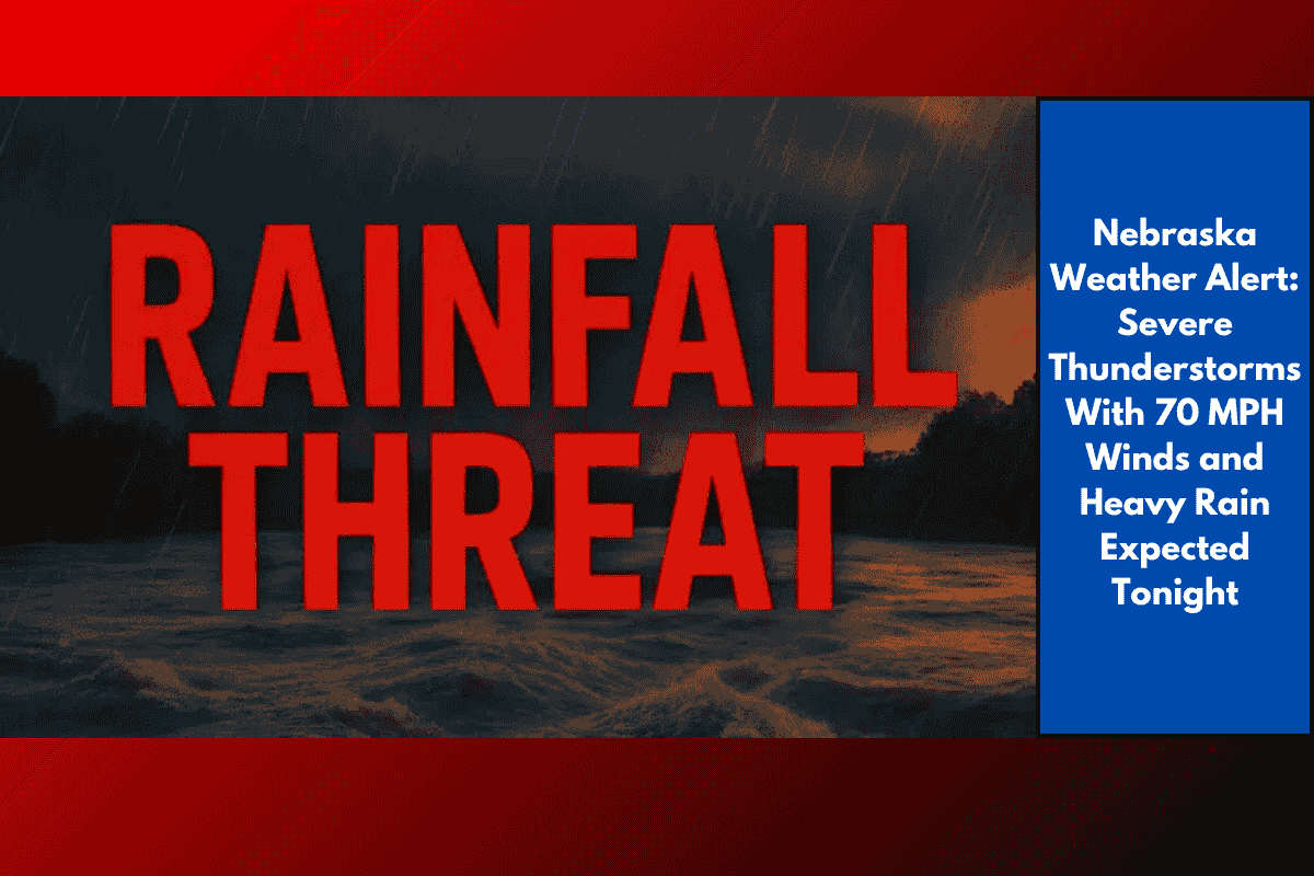
South central Nebraska is facing a serious weather threat tonight as strong storms develop across the region. The National Weather Service has issued a warning for severe thunderstorms that could bring intense winds, heavy rainfall, and localized flooding from 6 p.m. this evening through 2 a.m. Wednesday. If you live in this area, it’s important to prepare now and stay informed as the situation unfolds.
Which Areas Are Most at Risk?
The highest risk zones include Adams, Buffalo, and Kearney counties in south central Nebraska, as well as parts of north central Kansas. These areas are expected to see the strongest impacts from the storms. Meteorologists are warning that this could be the most dangerous weather event the region has seen so far this month.
What to Expect from the Storms
The storms are expected to bring wind gusts as high as 70 miles per hour, which can easily knock down trees, power lines, and unsecured objects. Rainfall totals may range between 2 to 4 inches, especially in low-lying or poorly drained areas. There’s also a chance of hail up to the size of quarters, although the main concern remains damaging winds and flash flooding.
Travel Could Be Hazardous
Drivers along I-80, US-281, and nearby highways should expect dangerous travel conditions during the peak storm hours. Sudden downpours could reduce visibility, while fallen branches and pooling water may block roadways. Emergency officials strongly advise against non-essential travel tonight. If you must drive, be cautious and never attempt to cross flooded roads, no matter how shallow the water may seem.
Power Outages and Flash Flooding
The strength of these storms could lead to power outages, especially in rural or tree-lined areas. Make sure your phone is fully charged, and have flashlights or backup lighting ready. Flash flooding is also possible, particularly in areas with poor drainage or near creeks and rivers. If you live in a flood-prone zone, keep an eye on local alerts and move to higher ground if necessary.
Safety Tips for Tonight
Residents are urged to secure outdoor items, such as patio furniture or garden tools, which could become dangerous projectiles in strong winds. Stay indoors, away from windows, and avoid using electrical devices during lightning activity. Keep weather alerts turned on your phone, radio, or local TV station so you can respond quickly if conditions worsen.
How Long Will the Storms Last?
This severe weather threat is expected to continue through 2 a.m. Wednesday, with the most dangerous period between 6 p.m. and midnight. Further watches or warnings may be issued as the storm system evolves. It’s important to remain alert and have a plan in place in case the situation becomes more serious overnight.
Tonight’s weather could be dangerous for many in south central Nebraska and nearby parts of Kansas. With the potential for high winds, heavy rain, flash flooding, and power outages, residents should take all warnings seriously. Prepare now by charging your devices, securing loose items, and avoiding travel. Stay indoors and keep updated through official weather channels. Safety should be your top priority as this powerful storm system moves through.