outheast Wisconsin is under a Severe Thunderstorm Watch until 6 p.m. Monday, as a line of strong storms moves through the region. Residents in Milwaukee, Kenosha, Racine, Waukesha, Walworth, Washington, and Ozaukee Counties should prepare for damaging winds, hail, and heavy rainfall through the late afternoon hours.
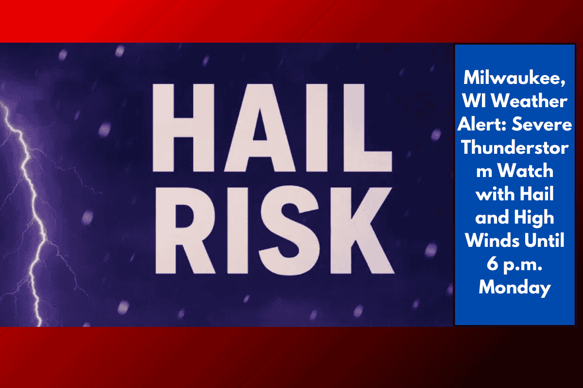
Hail and 60 MPH Wind Gusts Possible
The National Weather Service in Milwaukee/Sullivan reports that scattered thunderstorms are intensifying, and some could become severe. These storms carry the potential for:
Wind gusts up to 60 mph
Hail up to 1 inch in diameter
Frequent lightning
Brief heavy downpours
Areas at higher risk, including Milwaukee, Racine, and Kenosha, could see isolated power outages and tree limb damage as these storms move in.
Evening Commute and Outdoor Plans at Risk
Motorists traveling along I-94 between Milwaukee and Kenosha should expect reduced visibility, slick roads, and sudden downpours during the evening commute. Outdoor events and activities in places like Waukesha and Lake Geneva may also face disruptions due to thunder and lightning.
Authorities advise:
Delaying outdoor plans until the storms clear
Securing outdoor furniture and equipment
Avoiding flooded roadways and low-lying areas
Storms to Ease by Early Evening, But More Could Follow
While Monday’s storm threat is expected to diminish after 6 p.m., more storms remain possible through midweek as unsettled weather lingers. The National Weather Service may issue additional watches or warnings if the atmosphere remains unstable.
Monday’s storms are a sharp reminder of how quickly summer weather in Wisconsin can change. With hail, lightning, and powerful winds in the forecast, it’s important to stay weather-aware, especially if traveling or spending time outdoors. Look for calmer conditions later this evening, but keep an eye on the forecast as more storms may develop later this week.