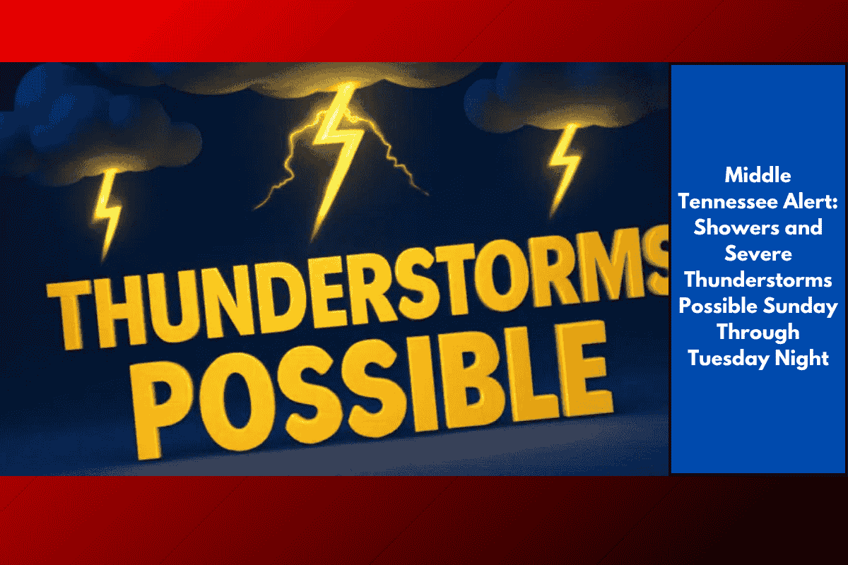
Nashville, Tenn. – A round of showers and potentially severe thunderstorms is expected to move into Nashville and much of Middle Tennessee beginning Sunday, with the possibility of localized flooding and travel disruptions extending into Tuesday night. According to the National Weather Service, rain will start Sunday morning, followed by scattered thunderstorms that could bring heavy rainfall to certain areas.
Drivers on I-24, I-65, and local surface streets should be prepared for sudden downpours, reduced visibility, and possible ponding on roads, particularly during the late afternoon and evening on Sunday. Cooler air will settle in Sunday night, but rain chances will continue, with scattered storms expected through Tuesday. Utility crews are advising residents to charge mobile devices and have flashlights ready, as strong winds and lightning could cause isolated power outages.
On Monday, a brief lull is expected with only a 20% chance of rain, but spotty storms could redevelop by the afternoon and continue into Tuesday. While not everyone will experience rain each day, the threat of downed tree limbs and street flooding will remain wherever heavier storms develop. It’s best to stay weather-aware and limit unnecessary travel during periods of heavy rain.
Threats are expected to persist through Tuesday night, with the next significant update anticipated by midweek as drier air begins to return.
Five-Day Forecast for Nashville, Tenn.:
Saturday: Partly sunny, high near 87°F.
Sunday: Showers and thunderstorms likely, some heavy rain, high 85°F.
Monday: Slight chance of storms after 1 p.m., high 85°F.
Tuesday: Scattered thunderstorms possible, high 89°F.
Wednesday: Mostly sunny, high near 89°F.