LOUISVILLE, Ky. – The stretch of warm, late-summer weather is coming to an end as scattered thunderstorms move across Kentucky and southern Indiana starting Wednesday night. According to the National Weather Service in Louisville, heavy rain, lightning, and gusty winds are expected before midnight, especially during the evening commute.
Commuters should be alert for ponding on roads, especially in areas like Louisville, Elizabethtown, Bardstown, and parts of southern Indiana including New Albany and Clarksville.
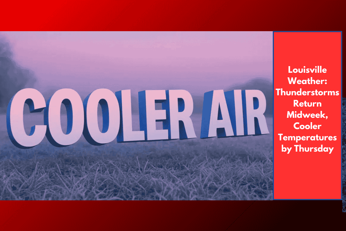
Cold Fronts Bring a Change in Pattern
Wednesday will start warm, with temperatures climbing into the upper 80s across central Kentucky. But as a series of cold fronts sweep through the region, storms will increase in coverage and temperatures will drop.
By Wednesday night, lows fall to the upper 50s to low 60s, with more showers and thunderstorms likely.
On Thursday, expect cooler conditions with highs only reaching the low to mid-70s. Storm chances will linger throughout the day, with scattered showers and a few rumbles of thunder continuing into the afternoon and evening.
No Major Flooding Expected, But Stay Weather-Aware
While the rain may come down hard at times, widespread flooding is not expected. However, low-lying areas could experience brief flooding, and slick roads may pose travel hazards during heavier showers.
Rainfall will help dry soils slightly, but current drought conditions across parts of Kentucky and Indiana are not expected to improve significantly from this system alone.
If you have outdoor plans Wednesday or Thursday, consider indoor alternatives and keep an eye on radar updates.
Weekend Outlook: More Storms Possible
The unsettled pattern continues into the weekend, with more storm chances on Friday and Saturday. While not a washout, occasional showers or thunderstorms may develop, especially during the afternoon hours.
5-Day Forecast for Louisville, KY
| Day | Conditions | High (°F) | Low (°F) |
|---|---|---|---|
| Tonight | Scattered thunderstorms | — | 57–63 |
| Wednesday | Warm, isolated storms in PM | 82–87 | — |
| Wednesday Night | Showers and storms | — | 59–65 |
| Thursday | Cooler, scattered storms | 72–80 | — |
| Friday | Partly cloudy, slight storm chance | Mid-70s | — |
| Saturday | Continued storm chances | Upper 70s | — |
Quick Weather Tips:
Keep an umbrella or rain jacket handy through Thursday.
Avoid flooded or ponded roadways—especially during evening drives.
Stay alert for weather alerts or thunderstorm warnings as fronts move through.
A shift in the weather is on the way for Louisville and surrounding areas, as storms return Wednesday night followed by cooler air and rain on Thursday. While not a drought-ending system, the rain will bring some brief relief. More storm chances loom into the weekend—stay weather-aware and plan ahead