This week, people living in and around Paducah, Kentucky, are in for a tough stretch of weather. A mix of extreme heat and daily chances of thunderstorms is expected all the way through Sunday. The National Weather Service has issued alerts as temperatures and humidity levels rise, pushing the heat index past 105°F. If you’re in western Kentucky or parts of southern Illinois, it’s important to stay prepared, especially during the afternoon and evening hours when storms are most likely.
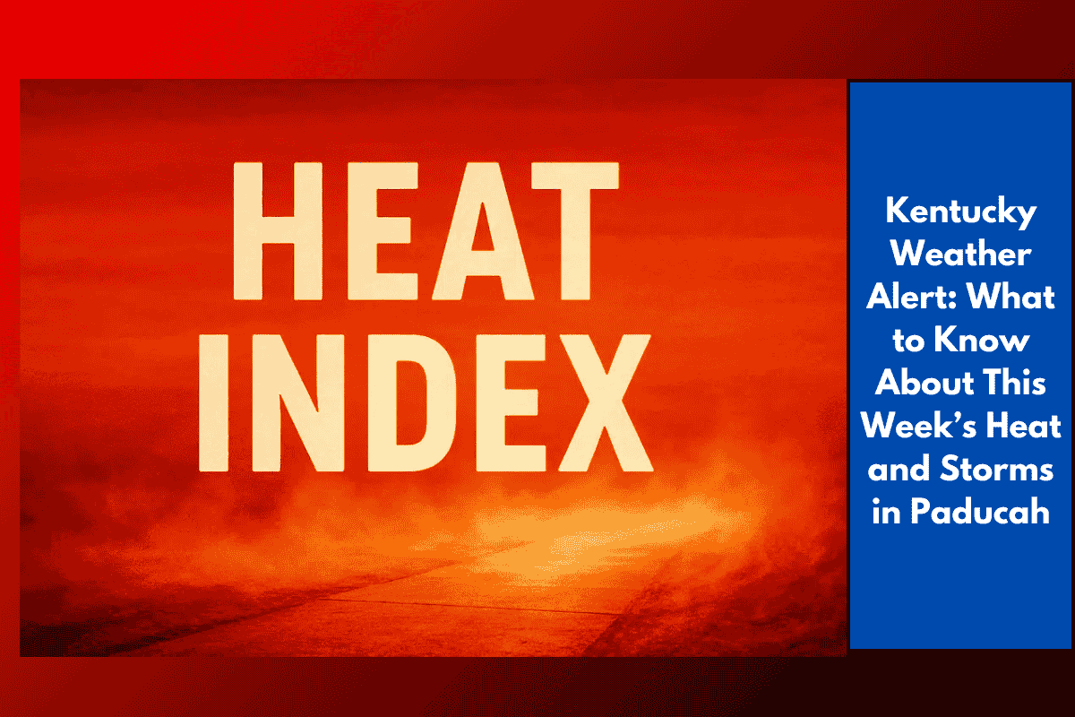
Heat Index Above 105°F All Week
The heat index is a measure of how hot it actually feels when humidity is factored in with the temperature. In cities like Paducah, Cape Girardeau, Evansville, and Poplar Bluff, the heat index could stay above 105°F through Sunday. That means the combination of temperature and humidity will make it feel dangerously hot.
These conditions are not just uncomfortable—they can be harmful, especially for the elderly, young children, and people who work outdoors. It’s very important to drink water often, take breaks in the shade, and stay indoors during the hottest parts of the day if possible.
Thunderstorm Chances Every Day
There is also a good chance of storms every afternoon and evening this week. The National Weather Service says there’s a 40–55% chance of rain each day, and some storms may become strong or even severe.
These storms could bring heavy rainfall, which might cause flash flooding, especially in low-lying or poorly drained areas. Communities along highways like I-24 and I-55—including Owensboro, Harrisburg, and Marion—should stay alert for gusty winds, quick bursts of heavy rain, and even power outages.
Safety Tips for the Week
Local authorities are urging people to stay safe during this period of extreme weather. Here are a few key reminders:
Stay inside during the hottest parts of the day.
Drink plenty of water and avoid drinks with caffeine or alcohol, which can cause dehydration.
Check in on elderly neighbors or anyone living alone.
Charge your phones and power banks in case of outages.
Avoid unnecessary travel when it’s storming.
If you have to be outside, wear light clothes, use sunscreen, and take breaks in the shade.
Schools, outdoor workers, and anyone planning events outside should plan ahead. Have indoor options ready and know where the nearest shelter is if a storm rolls in.
Possible Severe Weather Later in the Week
Officials are warning that later in the week, some of the storms could become more dangerous. This could include strong winds, lightning, and possible localized flooding. As the heat continues to build, the atmosphere becomes more unstable, which can fuel stronger storms.
The National Weather Service is closely watching the situation and may issue more advisories or warnings if conditions worsen. Residents are encouraged to follow local news or weather apps for updates.
When Will It End?
This hot and stormy weather is expected to last through at least Monday. There’s no sign yet of a major cool-down, so people in the region should stay ready and adjust their daily routines to stay safe and comfortable.
This week in Paducah and surrounding areas will be challenging, with dangerous heat levels and the daily threat of thunderstorms. Staying aware of weather forecasts, avoiding risky activities, and checking on others will help everyone stay safe. Whether it’s the blazing sun or sudden storms, taking the right precautions can make a big difference during this intense stretch of summer weather.