DODGE CITY, KANSAS — A Severe Thunderstorm Watch is in effect for a large portion of western and central Kansas until 9 p.m. MDT Thursday, with damaging winds and large hail posing significant threats to residents along Highway 83 and I-70. The storm system is expected to bring wind gusts up to 70 mph, quarter-size hail, and torrential rain.
Areas Affected
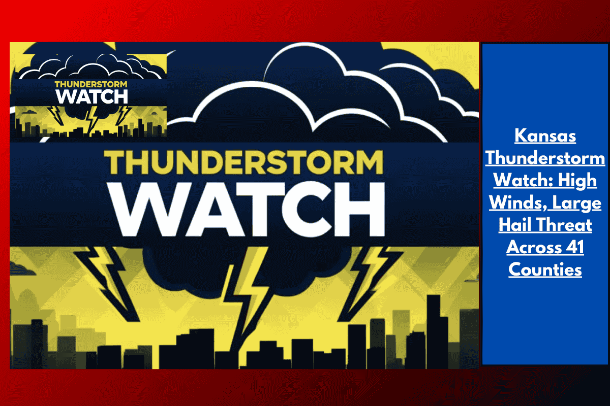
The Storm Prediction Center has issued Watch 502, which includes 41 counties across Kansas, from Sherman and Cheyenne in the northwest to Clark and Comanche in the south. Cities within the risk zone include Dodge City, Garden City, Hays, Colby, and Goodland.
Hazards and Impact
The storms may produce dangerous conditions, including:
Wind gusts up to 70 mph
Quarter-size hail
Heavy rain causing sudden visibility drops on roads
Travelers on U.S. 50, U.S. 54, and I-70 should be aware of the risk of downed branches and reduced visibility. Power outages are also possible as storms intensify.
Safety Tips
Residents are urged to take the following precautions:
Secure loose outdoor items that could be blown away by strong winds.
Stay indoors during storm warnings and avoid travel if possible.
Keep flashlights and charged devices on hand in case of power outages.
Future Threats
This severe thunderstorm watch represents the most widespread severe weather threat in Kansas this month. The storms are developing along a cold front and could persist into the evening, with additional watches or warnings possible if the storms continue.
Stay weather-aware: The watch remains in effect until 9 p.m. MDT, and local alerts may follow if the storms strengthen.