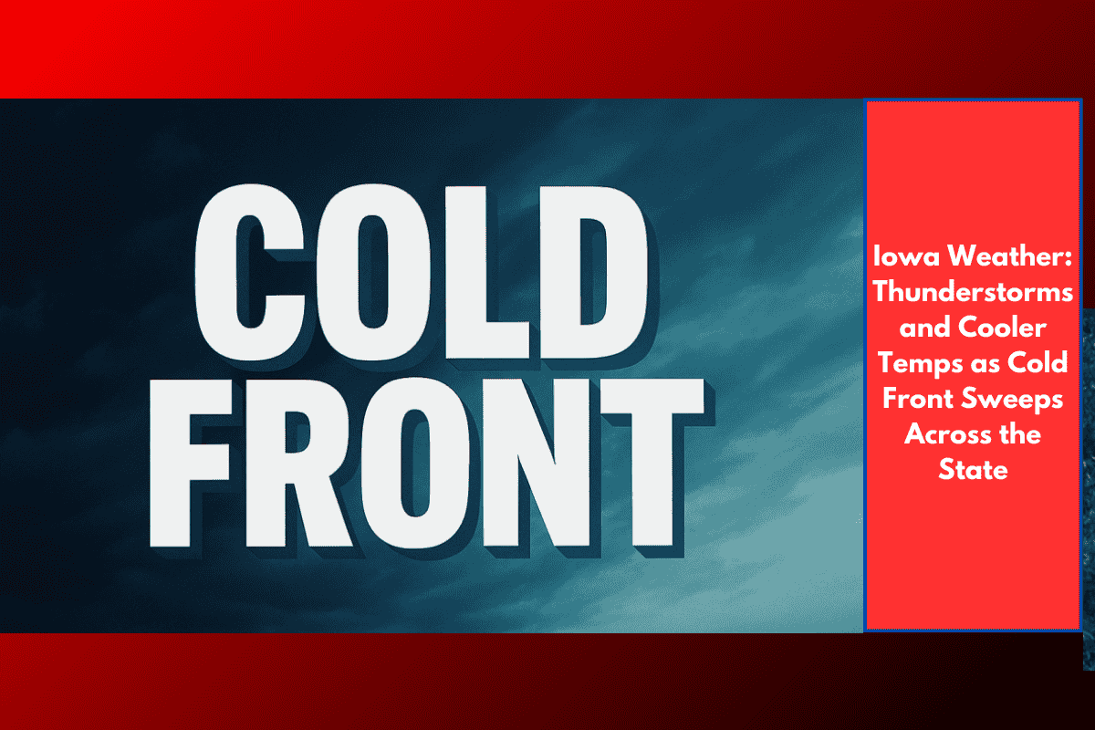
Des Moines, Iowa – A sharp cold front is moving into Iowa tonight, bringing scattered thunderstorms and a noticeable drop in temperatures across the northern half of the state. Overnight lows will fall into the mid-50s to near 60, marking the start of a cooler stretch that will continue through the end of the week.
Storms Expected Wednesday and Thursday
According to the National Weather Service in Des Moines, storms will develop across much of Iowa on Wednesday, with a few storms possibly producing strong winds and heavy rainfall. Temperatures will stay mild, with highs between 65 and 75 degrees statewide.
By Thursday, lingering storms are expected to affect central and eastern Iowa, particularly during the afternoon and evening. This could impact drivers along Interstate 80 and U.S. Highway 20, where sudden downpours and slick roads may slow down the evening commute.
Outdoor Plans May Be Affected
Those planning outdoor events or travel on Wednesday or Thursday should keep an eye on the radar, as pop-up thunderstorms could lead to weather delays or cancellations. Residents are also urged to stay weather-aware, with severe thunderstorm watches or warnings possible, especially during peak heating hours Wednesday afternoon.
Fall-Like Finish to the Week
The cold front will move out by Friday, leaving behind a stretch of cooler and drier weather. Expect partly sunny skies with highs in the upper 60s to low 70s, giving the workweek a crisp, fall-like finish.
Iowa 5-Day Weather Outlook:
| Day | Conditions | High (°F) | Low (°F) |
|---|---|---|---|
| Tuesday Night | Scattered storms, cooler | — | 55–60 |
| Wednesday | Scattered thunderstorms | 65–75 | — |
| Thursday | Storms, especially east & central | 66–72 | — |
| Friday | Partly sunny, cooler | 68–72 | — |
| Saturday | Mostly sunny, mild | 70–75 | — |
Travel Tips:
Keep headlights on during storms and reduce speed.
Allow extra travel time on I-80 and U.S. Highway 20.
Check for weather alerts before hitting the road.
A round of thunderstorms and a sharp cooldown are on the way for Iowa as a cold front pushes through midweek. Stay alert, especially Wednesday and Thursday, as storms could cause brief flooding, wind damage, or travel issues. By Friday, the fall vibes return with clearer skies and cooler air.