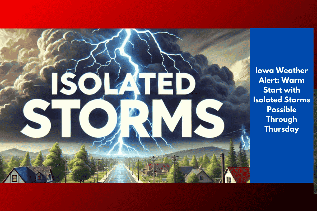
Eastern Iowa and western Illinois will experience summer-like weather to kick off the work week, with highs reaching the upper 80s and low 90s through Wednesday. According to the National Weather Service Quad Cities, this warm stretch comes with a chance of isolated storms, especially west of Highway 218 in Iowa.
Monday & Tuesday: Mostly dry, hot, and humid
Highs: 88–91°F across the region
Overnight lows: Mid to upper 60s
Isolated showers: Most likely west of Hwy 218
Cold Front Arrives Wednesday Night
The best chance for widespread rain and storms will come Wednesday night, when a cold front moves through the Mississippi River Valley. Forecasters say this system could bring:
Scattered showers and thunderstorms
20–30% coverage across eastern Iowa and western Illinois
Possible travel impacts, especially near the Quad Cities
No severe weather is currently forecast, but brief downpours and lightning could accompany some of the storms.
Cooler, Drier Weather to Follow
By Thursday, cooler air will move in behind the front:
Highs drop to the upper 70s to low 80s
Humidity levels fall, making for more comfortable afternoons
A few lingering storms may still pop up Thursday afternoon
Looking ahead to the weekend, forecasters expect mostly dry and pleasant conditions, with temperatures holding steady in the upper 70s and lower 80s.
Weekly Forecast Summary
| Day | Conditions | Highs (°F) | Storm Risk |
|---|---|---|---|
| Monday | Hot, humid, isolated showers | 88–90 | Low (west IA) |
| Tuesday | Partly sunny, dry | 89–91 | Very low |
| Wednesday | Warm, PM storms possible | 88–90 | Moderate (20–30%) |
| Thursday | Cooler, a few PM showers | 78–82 | Low (spotty storms) |
What You Should Do
Stay weather-aware Wednesday night, especially if traveling near the Quad Cities.
Use caution outdoors during peak heat early in the week.
Prepare for a cooldown later in the week and more comfortable weekend weather.