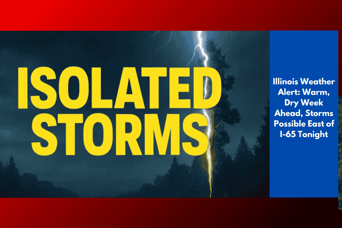
Residents across northern Illinois can expect a stretch of warm, mostly dry weather into next week, though isolated storms remain possible east of I-65 Saturday evening. According to the National Weather Service in Chicago, showers and storms may linger in this area before conditions dry out overnight. Lows will be between 62 and 65 degrees, with patchy fog possibly developing in some areas.
Warm Week Ahead
From Sunday through Wednesday, expect summer-like heat to return, with highs ranging from 82 to 92 degrees inland. Cooler conditions will persist along Lake Michigan, where highs will stay in the 70s and near 80. Overnight lows will remain in the low to mid-60s.
Dry Conditions and Extended Outlook
The National Weather Service’s outlook shows another period of warm and dry conditions through the middle of next week. No significant rain is expected for the Chicago metro, northern Illinois, or northwest Indiana, which could continue the ongoing dry pattern, affecting local farmers and residents.
Lakefront vs Inland Conditions
Those spending time near the lakefront should be prepared for cooler breezes, while inland areas will experience hotter and more humid conditions. The warm stretch may also raise concerns about late-season heat stress, especially for vulnerable populations.
Travel and Safety Tips
Residents are encouraged to monitor daily forecasts, particularly tonight east of I-65, where storms could bring locally heavy rain before clearing out.