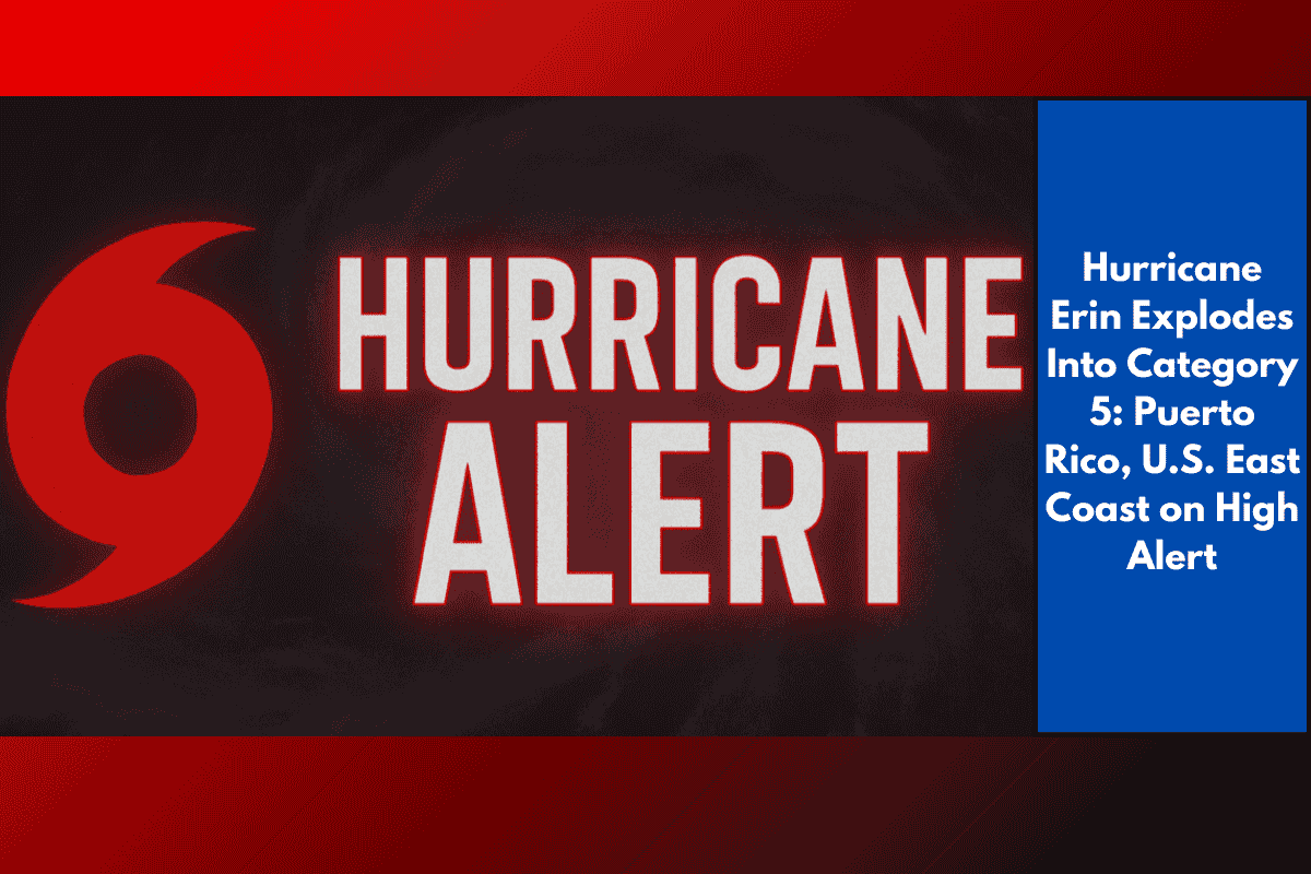
The 2025 Atlantic hurricane season has taken a dangerous turn as Hurricane Erin has rapidly intensified into a Category 5 storm, packing sustained winds of 160 mph. On Saturday, the National Hurricane Center confirmed Erin’s upgrade, raising serious concerns for Puerto Rico, the U.S. Virgin Islands, and potentially the U.S. East Coast.
Torrential Rain, Flood Risk for Puerto Rico and U.S. Virgin Islands
Erin’s outer bands are already starting to impact areas north of the Leeward Islands, with tropical storm watches issued for much of Puerto Rico and the Virgin Islands. Weather experts warn that the storm could dump up to 8 inches of rain, especially in mountainous areas, creating a high risk of flash flooding and dangerous mudslides.
Other expected impacts through the weekend:
Life-threatening surf and rip currents
Widespread power outages due to strong wind gusts
Coastal flooding, especially in low-lying areas
Residents are being urged to:
Stock up on essentials and emergency supplies
Charge phones and backup batteries
Secure loose outdoor items
Avoid travel during heavy rain or flooding conditions
East Coast on Alert as Erin Gains Strength
Although Erin is not currently projected to make landfall in the continental U.S., its trajectory is still uncertain, and the storm is growing in size. As early as next week, parts of the East Coast — from Florida to Massachusetts — may see:
High surf and powerful rip currents
Rough coastal conditions, especially at beaches
Possible tropical storm-force winds depending on Erin’s path
Forecasters stress that even without direct landfall, Erin could bring serious coastal hazards to the U.S. eastern seaboard. If the storm shifts slightly south or west, parts of the coast could fall within the cone of uncertainty.
A Rare and Rapid Intensification
What makes Erin particularly alarming is its rapid growth. Meteorologists note that reaching Category 5 strength in early August is highly unusual. In fact, only a few storms in the past 50 years have hit such intensity this early in the hurricane season.
This rapid intensification serves as a strong reminder of how quickly storms can change and why preparedness is critical, even in the early stages of the hurricane season.
What Comes Next
The National Hurricane Center and other agencies will continue to update Erin’s track every few hours. Residents in Puerto Rico, the U.S. Virgin Islands, and along the East Coast are strongly advised to:
Monitor local weather alerts
Review evacuation plans if they live in flood-prone zones
Avoid beaches and coastal areas as conditions worsen
Quick Overview: Hurricane Erin Impact Summary
| Region | Key Impacts Expected |
|---|---|
| Puerto Rico | Up to 8” rain, flash floods, mudslides |
| U.S. Virgin Islands | Tropical storm-force winds, coastal surge |
| U.S. East Coast | Rough surf, rip currents, potential impact |
| Caribbean (North) | Life-threatening waves, storm surge |
With Hurricane Erin now a Category 5 powerhouse, communities across the Caribbean and the East Coast must remain on high alert. Even if a direct hit to the U.S. is avoided, the storm’s intensifying wind field and heavy rain pose serious risks. Prepare now, stay informed through trusted weather sources, and take this storm seriously. Conditions are expected to worsen into early next week.