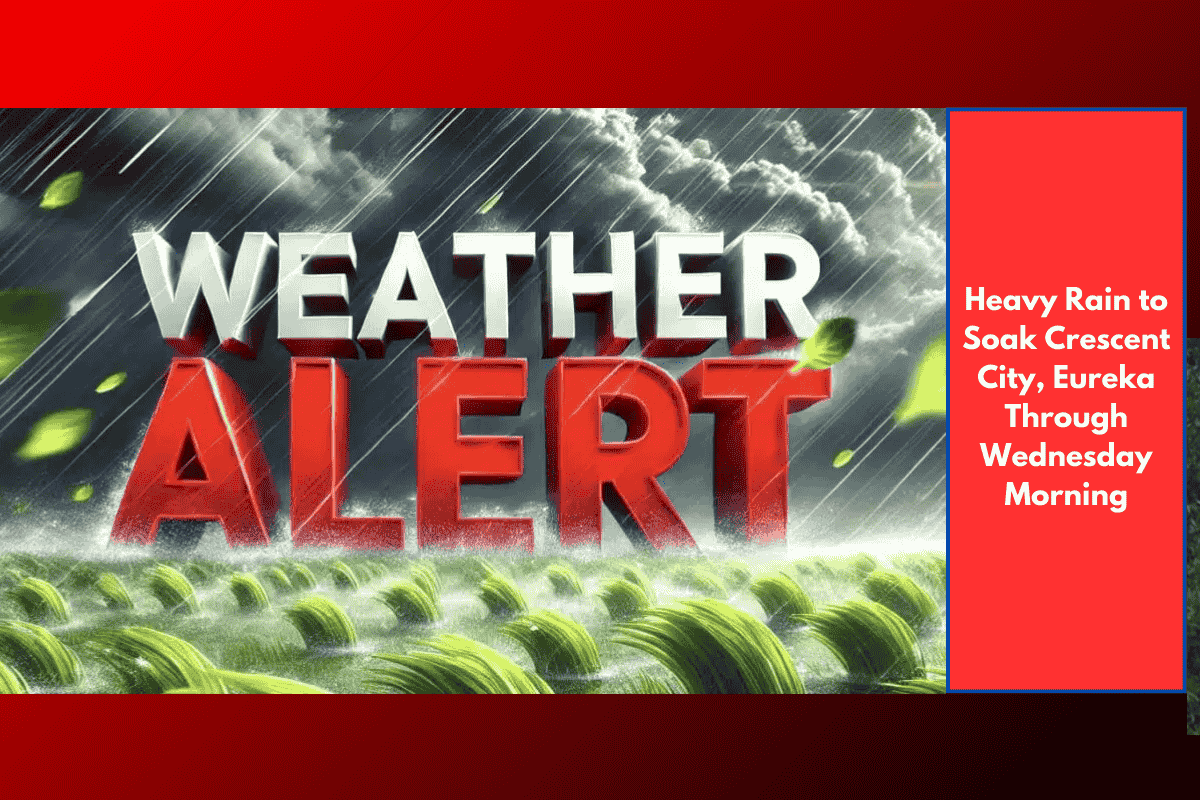
Eureka, CA – A slow-moving Pacific storm is expected to bring heavy rainfall to Northern California early next week, with the heaviest impact forecasted in Del Norte and Humboldt counties. The National Weather Service (NWS) in Eureka reports that the storm will arrive late Sunday, intensify on Monday, and continue through at least Wednesday morning.
Rainfall Totals and Key Areas Affected
Crescent City: Over 1 inch of rain expected by Wednesday
Eureka and Arcata: Moderate to heavy rainfall likely
Orick, Hoopa, and Orleans: Around 0.75 inches
Ukiah to Fort Bragg: Light to moderate rain, with smaller totals
Although rainfall totals will vary by region, widespread wet conditions are expected to create hazardous driving conditions, especially during peak morning and evening commutes.
Road Safety and Travel Alerts
Drivers in the region should prepare for:
Reduced visibility
Standing water on roads, especially U.S. Highway 101
Slippery conditions on State Routes 36 and 299
Rural routes may be particularly impacted, so residents in remote communities are urged to use caution.
Travel Tips:
Allow extra travel time
Slow down on rain-slicked roads
Clear storm drains and gutters near your property
Turn on headlights in low-visibility conditions
Storm Timeline and Outlook
First showers: Late Sunday evening
Heaviest rain: Monday into Tuesday
Lingering showers: Likely through Wednesday morning
Storm weakening: By midweek, though additional showers could return later in the week
The National Weather Service may update advisories as the system evolves and rainfall projections become more precise.