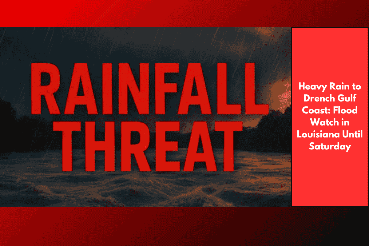
Residents in southwest Louisiana should prepare for heavy rain and possible flooding through Saturday night, as tropical moisture from the Gulf brings repeated rounds of showers and thunderstorms. Some areas could receive up to 8 inches of rainfall, especially in low-lying or flood-prone locations.
Tropical System Brings Flood Risk to Louisiana
According to the National Weather Service in Lake Charles, a very moist tropical air system is affecting the region from Thursday to Saturday. This wet air mass is causing non-stop rainfall and scattered thunderstorms, increasing the risk of flash floods, especially in areas that already saw heavy rain earlier in the week.
Areas Most at Risk
The highest flood threat is in parishes located along and south of Interstate 10 (I-10), including:
Lake Charles
Jennings
Lafayette
Cameron
Nearby cities like Beaumont and Orange may also be impacted. While most areas are expected to get 1 to 3 inches of rain, some spots could receive 6 to 8 inches by late Saturday. The heavy rain could quickly flood streets, fill up small creeks, and make driving on roads like US-90 and Highway 165 dangerous.
Flash Flooding and Travel Hazards
Some thunderstorms will drop very heavy rain in a short time, leading to quick flooding in areas with poor drainage. Flash flood warnings may be issued, especially if the rain falls over the same locations again and again.
Residents should:
Avoid going out during heavy rain
Move vehicles to higher ground
Keep phones and power banks charged
Monitor local news and alerts from the weather service
What to Expect Over the Next Few Days
Here’s a quick 5-day weather outlook for Lake Charles, Louisiana:
Thursday:
Heavy rain and thunderstorms with 1–2 inches expected
Flooding risk in low-lying spots
Friday:
More showers and isolated downpours
Another 1–2 inches possible
Flash flooding remains a concern
Saturday:
Rain continues early, tapering off by night
Totals may reach 6–8 inches in isolated places
Flooding still possible
Sunday:
Showers slow down
Highs in mid-80s
Floodwaters start to recede
Monday:
Partly cloudy and drier
Highs near 88°F
Some areas may still have standing water
Southwest Louisiana is in for a very wet stretch of weather as tropical moisture from the Gulf continues to dump heavy rain. Communities near and south of I-10 are at high risk of flooding through Saturday night, with up to 8 inches of rain possible in some areas. Residents should avoid travel during downpours, stay alert for flash flood warnings, and keep emergency supplies ready. While the rain is expected to ease by late Saturday, the threat of flooding in hard-hit areas may last into early next week.