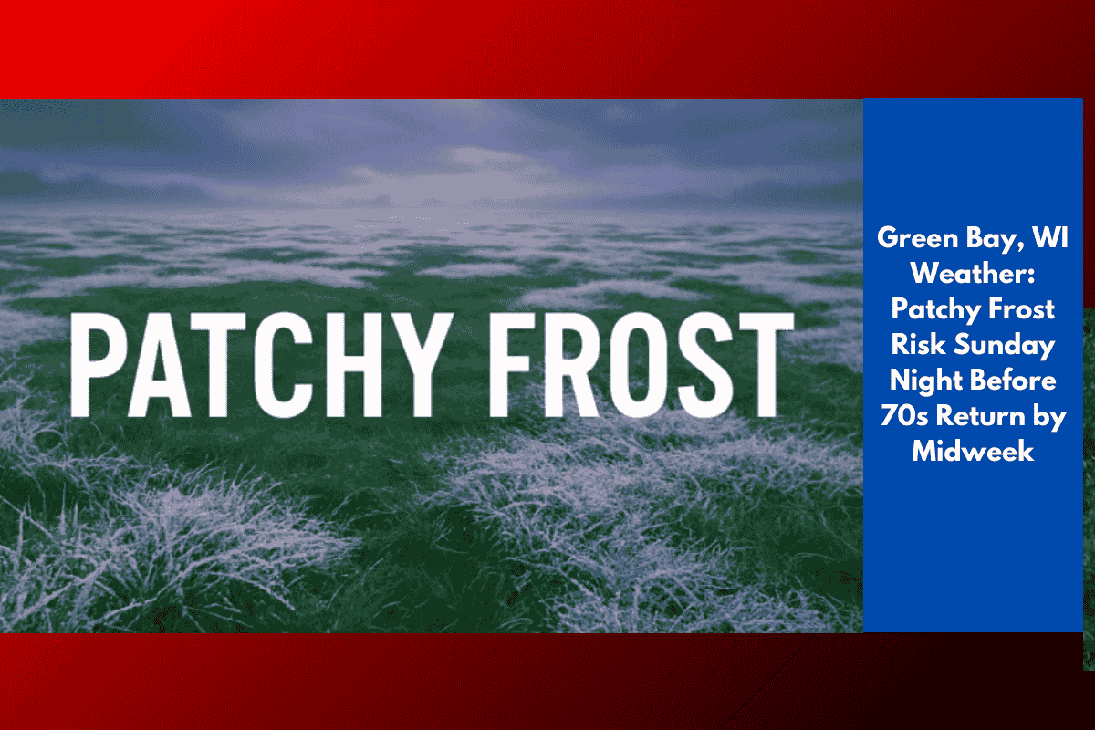
Residents across central and northeast Wisconsin may wake up to patchy frost early Monday as temperatures dip into the mid-30s in rural areas. This could pose a risk to late-summer gardens and outdoor plants.
Cold Temperatures Overnight
According to the National Weather Service in Green Bay, clear skies and light winds on Sunday night will allow temperatures to drop quickly. The coldest spots, such as Antigo, Rhinelander, and Crandon, could see temperatures bottoming out in the upper 30s. Urban areas like Green Bay, Appleton, and Oshkosh are expected to stay in the low to mid-40s, reducing the frost potential closer to the lakeshore.
Potential Hazards and Precautions
Drivers may encounter reduced visibility from patchy fog overnight. Residents are urged to protect sensitive vegetation, with farmers and gardeners encouraged to cover plants or bring them indoors if possible.
Warming Trend by Midweek
Conditions will improve as the week progresses, with highs climbing back into the 70s by Tuesday and Wednesday. Rain chances will increase Monday afternoon, with scattered showers and isolated storms possible across Shawano, Waupaca, and Stevens Point.
Frost Risk to End by Monday Morning
The frost risk is expected to end after Monday morning, and a steady warming trend will continue through the workweek.