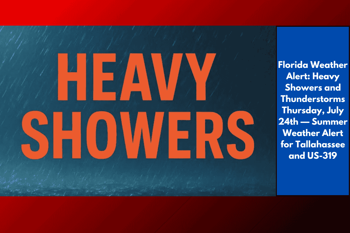
Tallahassee, Florida – Severe thunderstorms are expected to impact the Tallahassee region on Thursday, July 24th, bringing heavy rain and a dangerously high heat index of nearly 105°F. Drivers on US-319 and surrounding roads should prepare for rapidly changing conditions and the possibility of water buildup from afternoon storms.
According to the National Weather Service, showers and thunderstorms will likely begin developing after 2 p.m. on Thursday, with some storms capable of producing heavy rainfall and frequent lightning. Thunderstorms may persist into the evening, with southeast winds shifting to the south at 5 mph as the front moves through the region.
Local Impacts:
Reduced visibility and slick road surfaces are expected, particularly on US-319, US-90, and I-10 near Tallahassee during heavy downpours. Residents are advised to plan for possible travel delays and avoid unnecessary trips when storms are in the area.
Power outages could occur, so ensure devices are fully charged, and keep a flashlight handy.
Hydration is essential — with the heat index reaching dangerous levels before storms arrive, it’s critical to stay hydrated if you’re outdoors.
Extended Forecast and Outlook:
Friday: The unsettled weather pattern continues with more thunderstorms likely between 2 p.m. and 5 p.m. Storms may carry over into the evening, followed by drier conditions and partly cloudy skies by nightfall. High: 92°F.
Saturday: The heat ramps up again with highs reaching 95°F. Expect a 50% chance of afternoon and evening storms.
Sunday: A 30% chance of afternoon storms persists, but the day will remain mostly partly sunny. High: 98°F.
Monday: Thunderstorms remain possible, and temperatures will hover around the 100°F mark.
5-Day Weather Forecast for Tallahassee (Thursday, July 24th – Monday, July 29th):
Thursday: Showers and thunderstorms likely after 2 p.m. High: 89°F. Storms may be heavy.
Thursday Night: Thunderstorms possible before 2 a.m., followed by scattered showers. Low: 76°F.
Friday: Showers and storms likely between 2 p.m. and 5 p.m., with possible thunderstorms after 5 p.m. High: 92°F.
Saturday: 50% chance of showers and thunderstorms after 2 p.m. High: 95°F.
Sunday: 30% chance of afternoon storms, partly sunny. High: 98°F.
Monday: Continued chance of thunderstorms. Highs near 100°F.
Safety Tips:
Stay weather-aware and monitor trusted sources for updates throughout the day.
Be ready to seek shelter if a storm warning is issued.
Take caution while driving in rainy conditions — reduced visibility and slippery roads can create dangerous driving conditions.
Avoid outdoor activities when storms are approaching and prioritize staying hydrated during the heat.
Stay alert and prepared as storms are expected to remain a significant weather threat throughout the weekend.