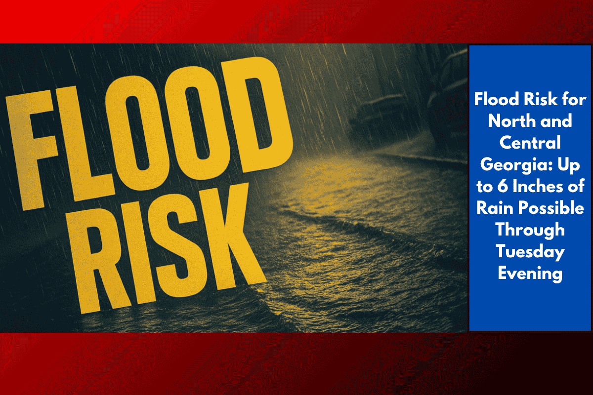
Atlanta, Georgia – Flash flooding is becoming an increasing concern across north and central Georgia today, with multiple rounds of heavy rain expected to continue through 8 p.m. Tuesday. Localized rainfall totals could reach as much as 6 inches, prompting a Flood Watch for areas from Rome to Dublin, including the entire Atlanta metro area.
Heavy Rainfall Expected Throughout the Day
According to the National Weather Service in Peachtree City, most areas are likely to receive between 1 to 3 inches of rain, but stronger thunderstorms could lead to significantly higher localized amounts. The heaviest rainfall is expected in low-lying areas, near creeks, and along urban streets, all of which are particularly vulnerable to rapid flooding.
Areas Under Alert
Metro cities such as Gainesville, Athens, and Newnan are already under alert for flash flooding, with emergency officials urging residents to avoid flooded roadways. Residents are also warned to prepare for possible power outages as the storm intensifies.
Travel Safety Tips
Avoid flooded roadways: If you encounter water on the road, turn around rather than driving through it.
Monitor real-time alerts: Stay updated with local weather warnings and road closure information.
Expect travel delays: The heavy rain is likely to cause disruptions to public transit and travel delays this afternoon.
Flood Watch Timeline
The Flood Watch is expected to remain in effect until 8 p.m. Tuesday, though further advisories may be issued depending on rainfall trends and storm developments.