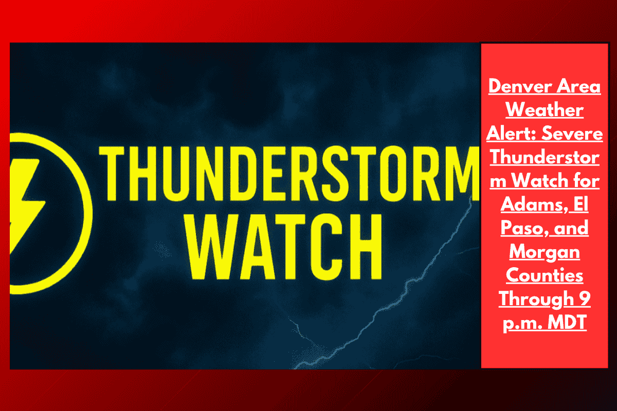
Denver, Colorado — Severe thunderstorms are expected to sweep across eastern Colorado this afternoon and evening, bringing large hail, damaging winds, and heavy rain to metro Denver, Weld County, and other parts of the region. A Severe Thunderstorm Watch has been issued for 14 counties through 9 p.m. MDT Monday.
Counties Affected
The National Weather Service Storm Prediction Center has issued the watch for the following counties:
Adams
Arapahoe
Cheyenne
Elbert
El Paso
Kiowa
Kit Carson
Lincoln
Logan
Morgan
Phillips
Sedgwick
Washington
Weld
Yuma
This watch includes metro Denver and surrounding areas like Aurora and Sterling, where thunderstorms could develop rapidly, bringing gusty winds and heavy rain.
Expected Weather Conditions
Officials warn of wind gusts up to 70 mph and hail as large as golf balls. The strongest storms are expected along I-70 and highways crossing the plains. Along with the hail and strong winds, heavy downpours may reduce visibility and create hazardous travel conditions.
Scattered power outages are also possible as the storms move through, especially in rural areas where the impact may be more widespread.
Safety Precautions
Local emergency management agencies recommend the following actions for residents:
Secure outdoor items that could be blown around by strong winds.
Avoid unnecessary travel, especially on rural roads that may flood quickly.
Seek sturdy shelter if warnings are issued. If you are already indoors, stay away from windows.
Travelers should be prepared for sudden road closures and flooded low-lying areas as storms develop.
Why It’s Important
This is Colorado’s most significant thunderstorm threat of July, coming after a week of record-breaking heat. As the storms move through, they could bring significant impacts to local infrastructure, travel, and safety. Residents are advised to stay tuned for updates throughout the evening.