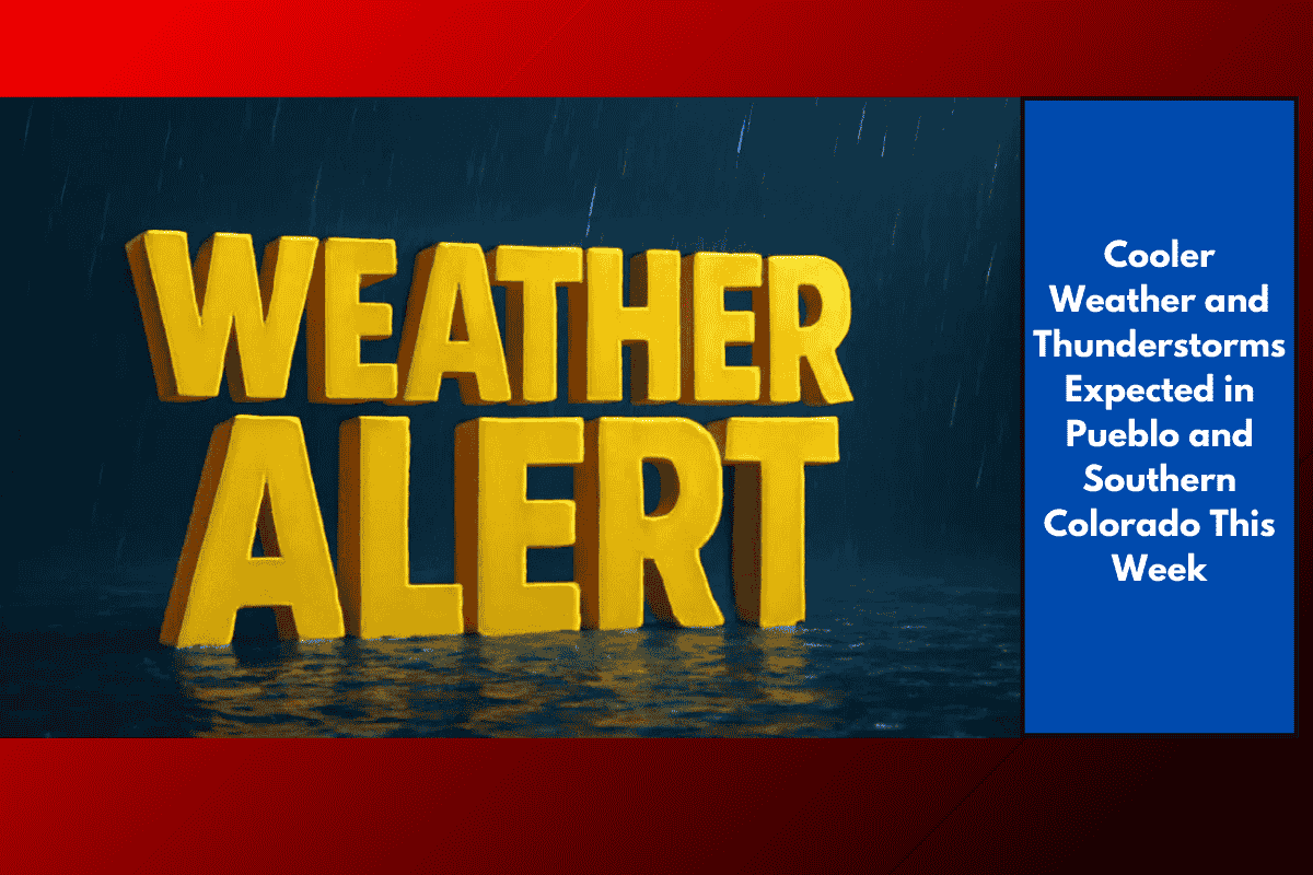
After a warm weekend, southern Colorado is in for a major weather change. Temperatures are set to drop sharply over the next few days, with widespread thunderstorms adding to the mix. Residents of Pueblo, Colorado Springs, La Junta, and surrounding areas should be ready for cooler, wetter days ahead.
What’s Causing the Change?
The National Weather Service in Pueblo has forecasted a shift in the weather pattern starting late Sunday and continuing until midweek. This change will bring:
Daytime highs dropping from the 80s to the 60s and 70s in many areas
Thunderstorms and scattered rain showers
A higher risk of travel disruptions due to heavy downpours
The combination of rain and cooler air will be a noticeable shift, especially after a hot and dry stretch.
Cities That Will Feel the Cool the Most
Mountain towns will see the most dramatic temperature drop. Places like:
Leadville
Buena Vista
Woodland Park
can expect daytime temperatures to fall into the upper 50s to low 60s, a big change from the previous week.
Meanwhile, cities in the Arkansas Valley — such as Lamar and Springfield — will also see cooler weather, though not as sharp. These areas will still trend 10–15 degrees cooler than last week’s highs.
Possible Travel Disruptions and Safety Tips
The rain and storms may affect daily commutes and travel plans. With reduced visibility and the chance of flash flooding, it’s important to take precautions:
Avoid driving during intense rainfall, especially at night or in rural areas
Watch for standing water on roads, especially in low-lying spots
Keep mobile phones and power banks charged in case of power outages
Stay tuned to local news or weather alerts for flash flood warnings
Highways like I-25 and U.S. 50 could be affected the most due to heavy rain, so drivers should plan extra time and stay cautious.
Looking Ahead
This cooler, stormy pattern is expected to last through midweek. After that, conditions may begin to dry out, but temperatures will likely remain cooler than last week. This brings some relief from the summer heat, but it also means planning ahead for wet conditions, especially for outdoor events or road trips.
Southern Colorado is shifting into a cooler, wetter pattern as thunderstorms roll in through midweek. Whether you’re in the city or heading to the mountains, it’s a good time to carry an umbrella, check weather updates regularly, and stay cautious on the roads. The drop in temperatures offers a break from the summer heat, but the mix of storms makes it important to stay alert and prepared.