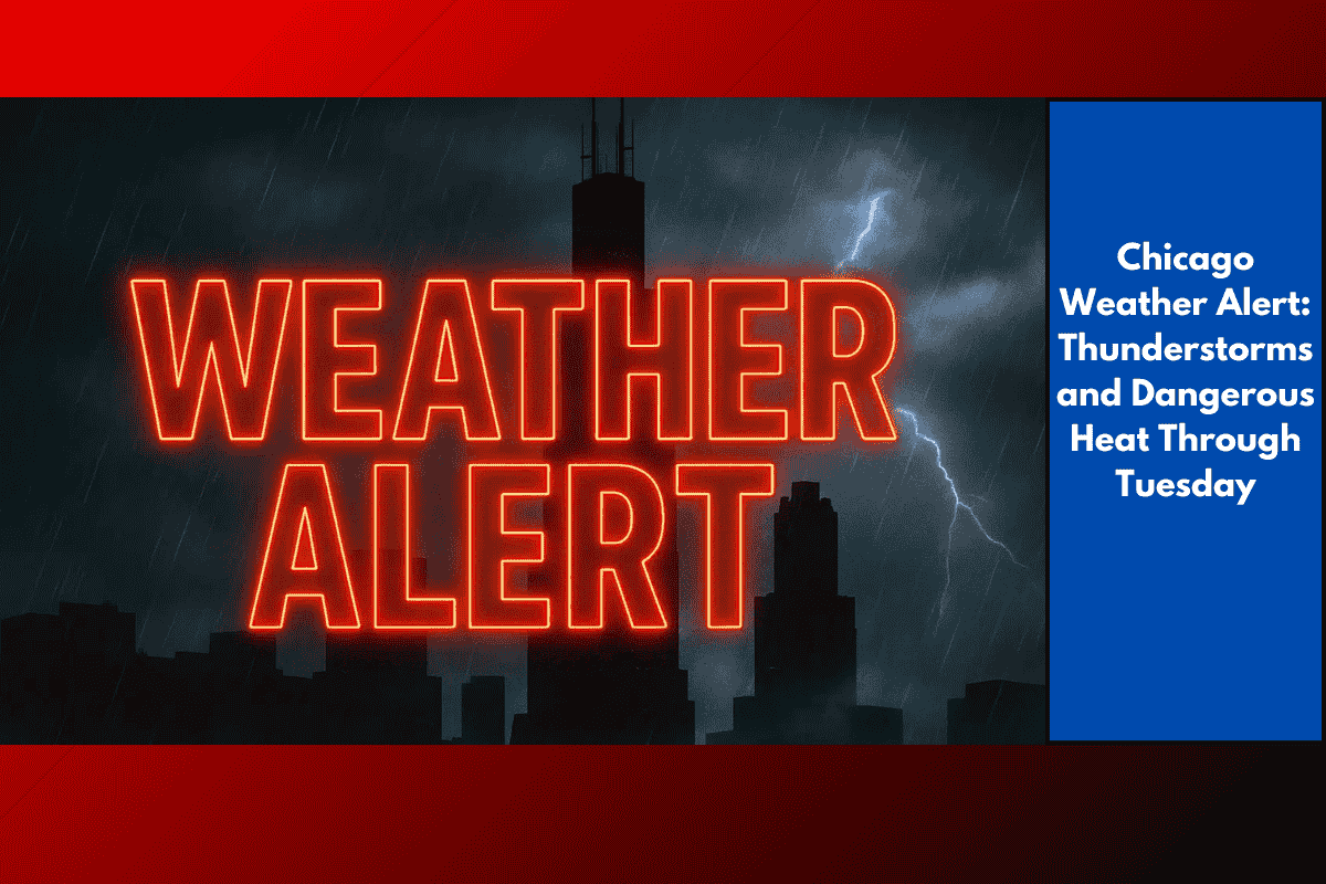
Northern Illinois and northwest Indiana are facing an active and potentially hazardous stretch of weather through Tuesday, as dangerous heat combines with multiple rounds of thunderstorms. Afternoon heat index values are expected to range between 100°F and 105°F, with some areas south of I-80 feeling closer to 110°F.
Key Weather Impacts:
Dangerous heat: Heat indices of 100–105°F each day, with some areas exceeding 110°F.
Thunderstorms: Clusters of storms are expected tonight and Saturday, with the strongest activity occurring Saturday afternoon and evening. These storms may bring:
Torrential rainfall
Damaging winds capable of downing trees
Frequent lightning
Elevated flood risk in areas impacted by multiple storms.
Travel and Safety Advisories:
Travel delays are possible in Chicago, Rockford, Joliet, and Gary due to heavy rain and ponding on roads.
Lake Michigan shore will experience slightly cooler air, offering some relief, but inland communities should limit outdoor activities, especially during the hottest parts of the day.
Stay hydrated and check on vulnerable neighbors.
Ensure you have multiple ways to receive weather alerts, as conditions can change rapidly.
Forecast:
Tonight: Lows 70–75°F, 40% chance of thunderstorms.
Saturday: Highs 88–94°F, heat index up to 105°F, scattered storms, 30–40% chance.
Sunday: Highs 86–94°F, 20–30% chance of storms, cooler near the lake.
Monday: Highs 89–95°F, 40–50% chance of storms.
Tuesday: Highs 84–91°F, 30% chance of storms.
Conditions should ease by midweek, but keep an eye out for further alerts if storm tracks shift. Stay safe and plan accordingly!