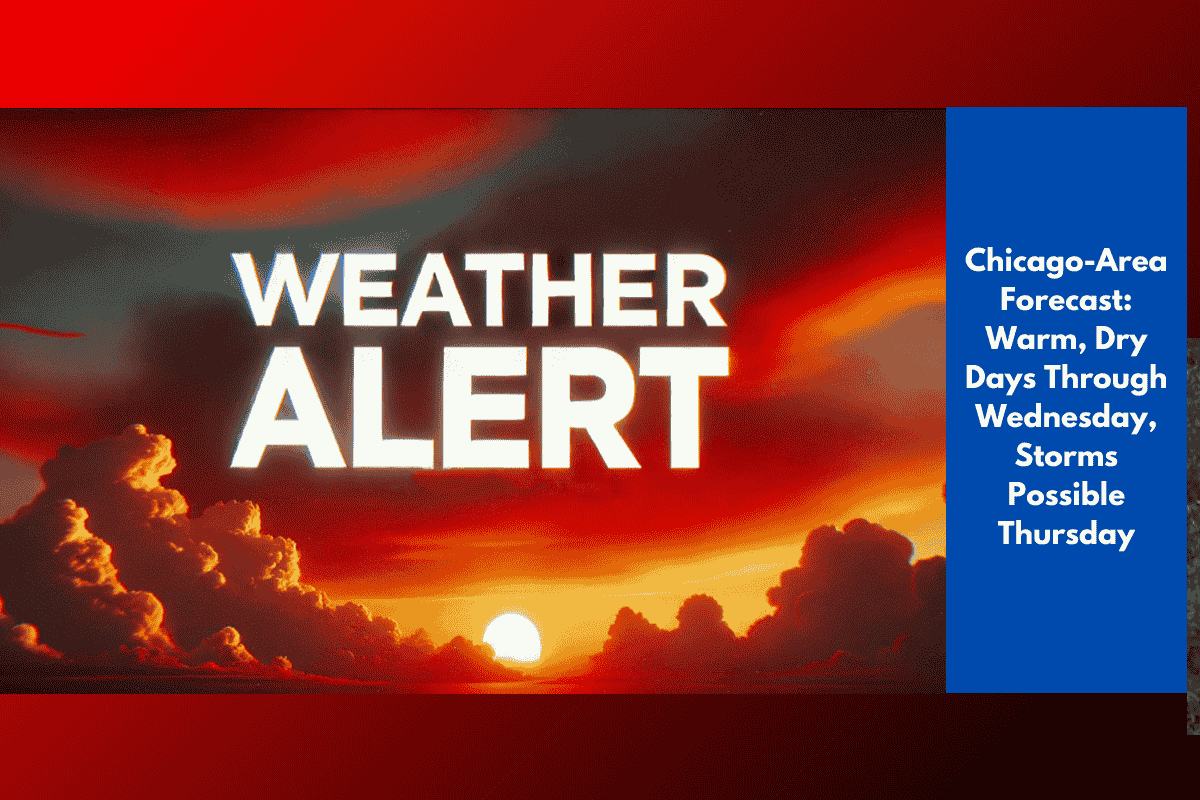
Chicago and surrounding parts of northern Illinois are set to enjoy a summer-like stretch of weather through midweek. According to the National Weather Service Chicago, conditions will remain dry and partly sunny from Monday through Wednesday, with high temperatures climbing to near 90°F inland.
Monday–Wednesday Highs:
Inland areas: 82°F to 90°F
Lakeshore: 70s to low 80s due to steady lake breezes
Overnight Lows:
Mid-50s inland
Mid-60s in and near the city
Hottest Days: Tuesday and Wednesday
The warmest days of the week will be Tuesday and Wednesday, when inland neighborhoods could flirt with the 90-degree mark. Those closer to Lake Michigan will enjoy cooler conditions thanks to a consistent lake breeze.
Thursday Storm Chances
Thursday will bring the first real change in the pattern, as clouds increase and there’s a 30% chance of showers and thunderstorms. While no severe storms are forecast at this time, residents should stay alert for:
Brief heavy downpours
Isolated gusty winds
Potential delays during evening commutes or outdoor plans
Highs on Thursday will dip slightly to the low to mid-80s, with cooler readings along the lakefront.
Weekly Weather Summary
| Day | Conditions | Highs (°F) | Notes |
|---|---|---|---|
| Monday | Partly sunny, dry | 82–87 (cooler lakeside) | Warm, calm conditions |
| Tuesday | Mostly sunny, hot | 85–90 (70s–80s near lake) | Warmest day of the week |
| Wednesday | Sunny to partly cloudy | 86–89 | Continued summer-like warmth |
| Thursday | Partly sunny, PM storms | 81–84 | 30% chance of t-storms |
Safety and Travel Tips
Stay hydrated during peak afternoon warmth, especially Tuesday and Wednesday.
Monitor weather updates heading into Thursday in case storm chances increase.
Plan ahead for outdoor events or travel, particularly for the second half of the week.