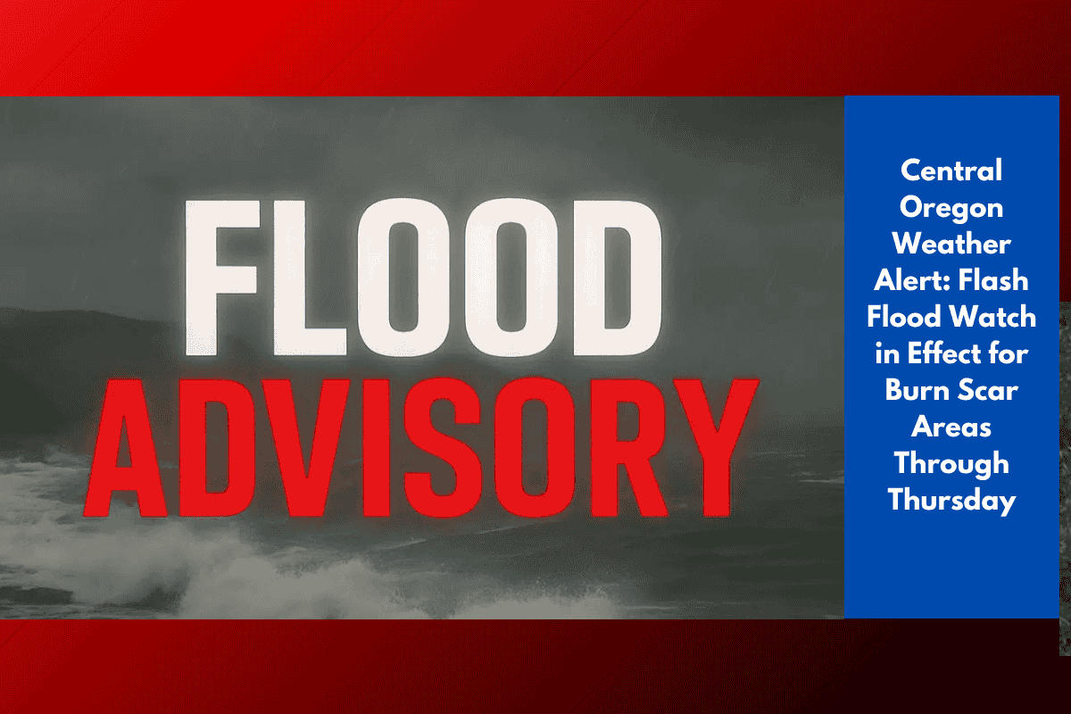
Central and eastern Oregon residents should stay on high alert as slow-moving thunderstorms could bring flash flooding and dangerous debris flows through Wednesday and Thursday. The National Weather Service in Pendleton has issued multiple Flash Flood Watches, especially for burn scar areas, where even a short burst of heavy rain can quickly become life-threatening.
Up to 1.5 Inches of Rain Expected in Mountain Zones
According to weather officials, storms are forecast to develop on Wednesday and continue into Thursday evening, with some mountain areas possibly receiving up to 1.5 inches of rainfall. The most vulnerable regions include:
The Cascades
The John Day Basin
The Blue Mountains
These areas have experienced recent wildfires, leaving behind loose, unstable soil. When heavy rain hits, it can trigger sudden mudslides, rockfalls, and fast-moving floodwaters.
Cities Under Watch and Key Safety Concerns
Communities currently under the Flash Flood Watch include:
Bend
Redmond
Sisters
La Pine
John Day
Ukiah
Officials urge:
Drivers to avoid low-lying or flooded roads
Residents near canyons or burn scars to have evacuation plans ready
Everyone to stay weather-aware and monitor emergency alerts
Even moderate rainfall in these areas can rapidly turn into flash flooding, especially near slopes or canyons.
What Makes Burn Scars So Dangerous?
When wildfires burn vegetation, they leave behind a layer of hydrophobic (water-repellent) soil. This prevents rainwater from soaking into the ground. As a result:
Rain runs off quickly
Water picks up mud, ash, and debris
Steep terrain accelerates flow and increases danger
This creates an ideal setup for debris flows and flash floods, which can happen within minutes of a downpour starting.
Weather Outlook: Flash Flood Risk Through Thursday
The Flash Flood Watch remains active through Thursday evening, but may be extended if storm activity lingers. Forecasters are watching conditions closely, and more advisories could be issued in the coming days.
5-Day Weather Snapshot for Central Oregon (Bend Area)
| Day | Conditions | High (°F) | Low (°F) |
|---|---|---|---|
| Wednesday | Thunderstorms likely, flash flood risk | 70–75 | 50–55 |
| Thursday | Showers, storm risk continues | 68–74 | 48–54 |
| Friday | Drying out, partly sunny | 73–78 | 46–52 |
| Saturday | Mostly sunny, calmer conditions | 75–80 | 48–54 |
| Sunday | Dry, mild weather returns | 76–82 | 50–55 |