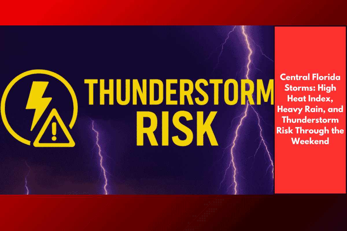
Central Florida, including Orlando, is facing intense summer weather with high heat and frequent thunderstorms. With a heat index that can reach up to 102°F, outdoor activities and travel are at risk, as storms will roll through the region this weekend and continue into early next week. Here’s a detailed look at what to expect from the weather in Orlando and surrounding areas.
Saturday: Afternoon and Evening Storms
This Saturday, expect hot and humid conditions in Orlando, with temperatures reaching around 94°F. However, the real concern will be the heat index, which could soar to 102°F. As the day progresses, scattered thunderstorms will develop, particularly after 4 p.m. These storms are likely to bring heavy rainfall, gusty winds, and occasional lightning. The storms will intensify into the evening, with the peak of storm activity expected before 9 p.m. Drivers and residents should be cautious of sudden downpours, especially along major roads like I-4 and Colonial Drive, where flooding can occur quickly.
Sunday: More Thunderstorms and Heat
Sunday will bring continued hot and humid weather, with temperatures climbing to 95°F. Thunderstorms are expected to develop after 2 p.m. and will last through the evening. The combination of high heat and thunderstorms could lead to localized flooding, particularly in low-lying areas. As with Saturday, strong winds and lightning will accompany the storms. Residents should plan to stay indoors during the peak storm hours and avoid outdoor activities. Additionally, be prepared for possible power outages, as storms may cause disruptions to the electricity supply.
Monday and Tuesday: Continued Storm Risk
On Monday, the weather will remain unsettled. There will be a slight chance of storms in the morning, but the greater risk will come in the afternoon, with thunderstorms likely. The hot and muggy conditions will persist, with highs around 94°F. By Tuesday, the storm chances will increase, with thunderstorms expected throughout the day. As the heat and humidity continue, the risk of severe weather remains high, and residents should stay prepared for more storm activity.
Advice for Residents
Due to the high risk of thunderstorms, lightning, and flooding, it’s important for residents and travelers to stay weather-aware over the weekend and early next week. When thunderstorms develop, avoid going outside, especially near trees or open fields, as lightning strikes can be dangerous. Make sure to charge mobile devices in case of power outages and keep flashlights or other emergency supplies on hand. Additionally, stay cautious while driving on wet roads and be aware of sudden flooding in low areas.
Looking Ahead
Unfortunately, there’s no immediate relief from the heat and storms in the forecast. The humidity will remain high, and thunderstorms will continue to be a frequent occurrence through Tuesday and Wednesday, making for a challenging week of weather in Central Florida.
Five-Day Forecast for Orlando, FL
Saturday: Partly sunny with scattered storms after 4 p.m., high near 94°F (heat index up to 102°F)
Sunday: Thunderstorms possible after 2 p.m., high near 95°F, humid
Monday: Slight chance of storms in the morning, likely storms in the afternoon, high 94°F
Tuesday: Thunderstorms likely, hot and muggy, high 95°F
Wednesday: Thunderstorms likely, high 94°F, continued humidity
Orlando and surrounding areas in Central Florida will continue to experience a combination of extreme heat and thunderstorms throughout the weekend and into early next week. The high heat index, coupled with frequent storms, will make outdoor activities difficult and could lead to flooding, power outages, and dangerous driving conditions. Residents are urged to stay informed about the weather, take precautions during storms, and prepare for possible disruptions in the coming days.