Coastal South Carolina is bracing for severe weather impacts this week as Hurricane Erin churns offshore. While the storm is not expected to make landfall, it’s already causing dangerous conditions along the coast, including huge waves, powerful rip currents, and the threat of major flooding through Thursday.
Hurricane Erin’s Waves Threaten South Carolina Beaches
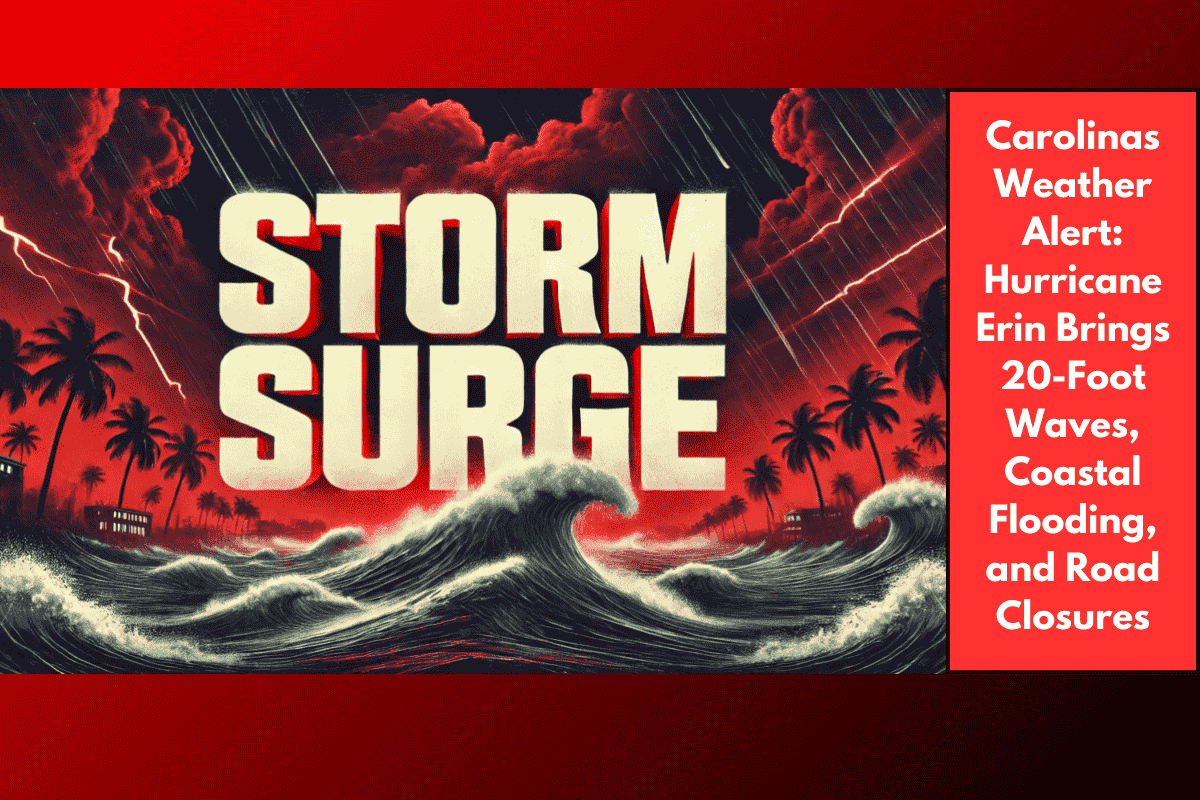
According to the National Weather Service in Greenville-Spartanburg, waves reaching up to 20 feet are expected to pound the coastline from Charleston to Myrtle Beach. These massive swells are likely to damage protective sand dunes and flood low-lying areas, including homes, shops, and roads.
Communities at higher risk include:
Pawleys Island
Edisto Beach
Folly Beach
Local officials warn that the storm’s wave action, combined with storm surge, could wash out beach entrances and leave roads underwater for days.
Beach Closures and Rip Current Warnings
Swimming has been banned at all affected beaches due to extremely dangerous rip currents and unstable surf conditions. Lifeguards and rescue officials are urging everyone to stay out of the water, as even experienced swimmers could be pulled under in seconds.
Road and Infrastructure Risks
The South Carolina Department of Transportation (SCDOT) is keeping a close eye on low-lying roads near the Intracoastal Waterway. With water levels expected to rise, temporary road closures may be issued to protect public safety. Flooding could also impact access to coastal neighborhoods and emergency services.
Warnings for Residents and Tourists
Authorities are urging both locals and tourists to:
Avoid coastal areas and beach travel
Secure outdoor property and vehicles
Stay updated with weather alerts
Be ready for possible evacuations or road closures
Even though Hurricane Erin is not directly hitting land, its size and strength are enough to cause serious damage along the South Carolina coastline.
Alerts Remain in Effect Through Thursday
Coastal warnings will remain active through Thursday, but could be extended depending on Erin’s path. As the storm moves northward, weather experts will continue to monitor changes and update advisories as needed.
Hurricane Erin is a clear example of how a storm doesn’t need to make landfall to be dangerous. With 20-foot waves, rising tides, and life-threatening surf, the South Carolina coast is facing a serious weather threat. All residents and visitors are strongly advised to stay cautious, follow official guidance, and prioritise safety over beach activities this week.