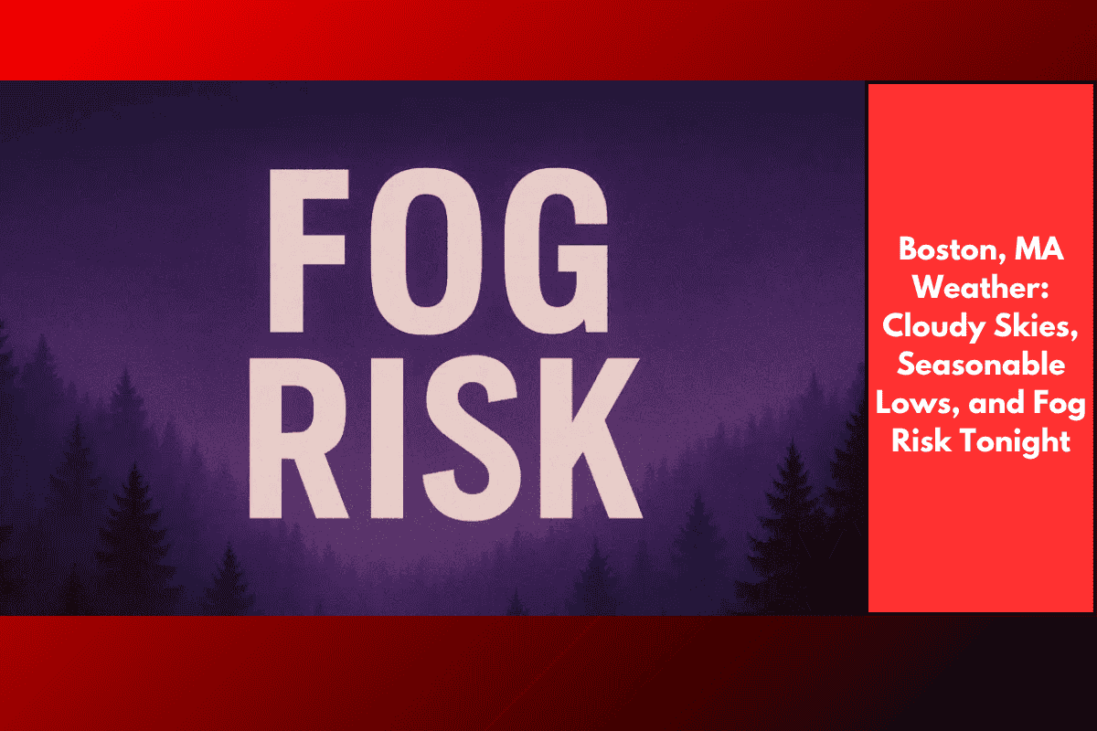
Boston, MA – Cloudy skies and patchy fog are expected across Massachusetts tonight, with areas west of Worcester seeing increased fog risk, particularly in river valleys and low-lying regions. Drivers should stay cautious as isolated showers continue moving through western Massachusetts, potentially making roads slick in spots.
Weather Details
According to the National Weather Service Boston, temperatures will remain seasonable, with overnight lows ranging between 58°F and 64°F across most of the state. Coastal areas and Cape Cod may experience slightly milder conditions.
Fog is most likely to develop after midnight, especially along the Connecticut River Valley, and through low-lying stretches of I-91 and Route 2. Showers will persist mostly west of Springfield, though a stray sprinkle could be seen in Central Massachusetts before dawn.
Driving Safety Tips
Drivers are advised to use caution when navigating through patchy fog, especially in fog-prone areas. If traveling late tonight, make sure to reduce speed, as visibility can change quickly, and slick roads could develop in areas that receive rain. For residents in valleys known for dense fog, it’s a good idea to leave extra lights on and avoid unnecessary driving overnight.
Forecast for Thursday
Cloudy and mild weather will persist through Thursday morning. The NWS Boston warns that more advisories may be issued if fog becomes dense or if showers redevelop. Stay tuned for updates to remain informed about any changes in the forecast.