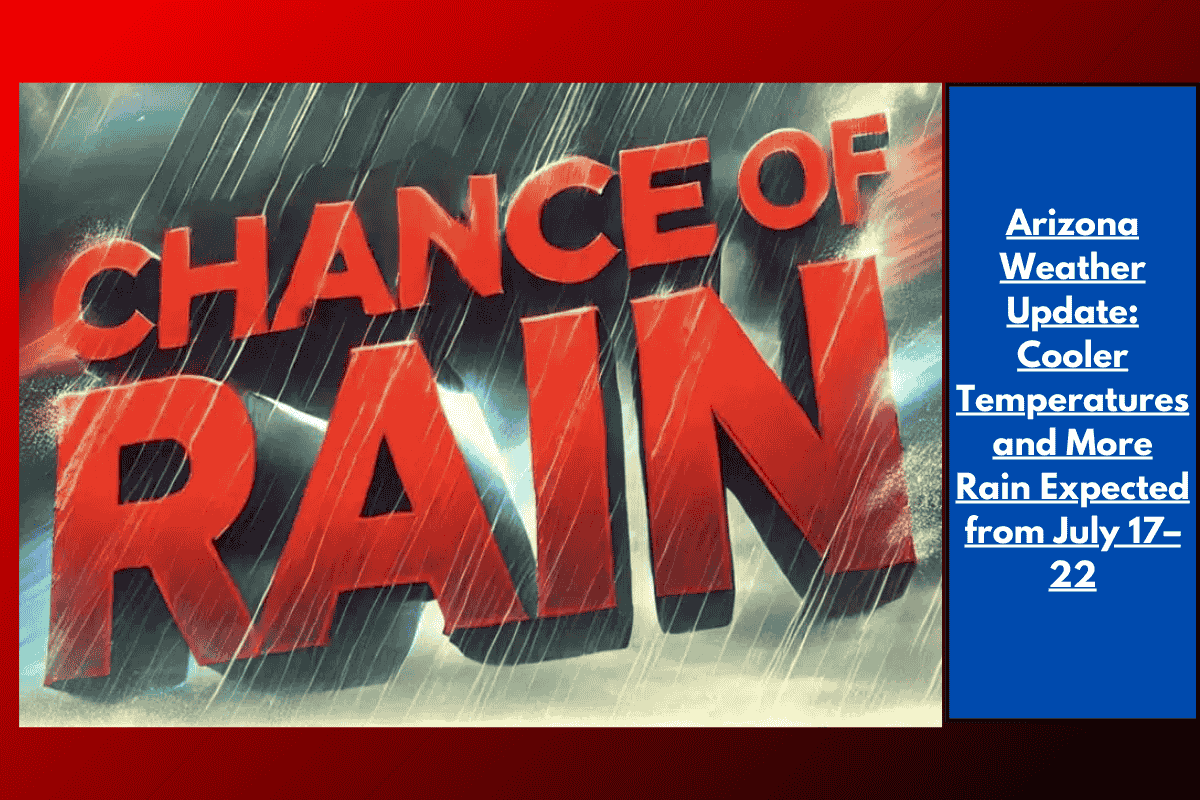
Phoenix, Arizona – Arizona residents can expect a rare stretch of cooler and wetter weather in the latter half of next week, from July 17 to July 22. Below-normal temperatures and higher rain chances are predicted to bring some relief after a period of persistent heat across the Desert Southwest.
Weather Outlook
According to the Climate Prediction Center, there is a 40-50% chance of below-average highs and above-normal precipitation during this period. This forecast covers the entire region, not just the Phoenix Metro area, though rain is not guaranteed for all communities. For cities in the lower desert like Phoenix, Yuma, and Tucson, rain chances are expected to be between 20-30% from Wednesday to Friday.
What to Expect on the Roads
Drivers on I-10, I-17, and US-60 may experience cooler mornings and isolated showers, particularly in the afternoons. If storms occur, outdoor events and utility services might be affected, so residents are advised to stay alert for weather updates. It’s also recommended to secure outdoor items and limit travel during heavy downpours.
The Impact of the Weather Shift
After a period of intense heat, the cooling trend will bring some much-needed relief, but it may also bring the risk of sudden storms—similar to early monsoon surges seen in previous Julys. While the rain and cooler air might stick around, weather conditions can change quickly, so additional updates or advisories are possible.
This weather shift is expected to bring a break from the usual summer heat but also the possibility of unpredictable storms. Residents should monitor weather alerts and be prepared for sudden changes in conditions.