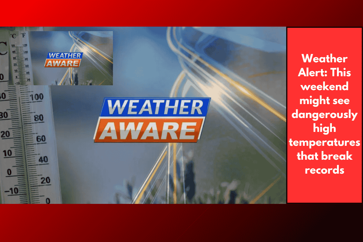
SAVANNAH, Ga. – The Coastal Empire and Lowcountry are in for an exceptionally hot stretch of weather as a dangerous heat dome settles over the southeastern U.S. This weekend into early next week will bring record-challenging temperatures, dangerously high heat index values, and Weather Aware Days for Sunday and Monday.
What Is a Heat Dome?
A heat dome forms when an area of high pressure remains fixed over a region, trapping hot air below it. As the air sinks, it compresses and heats up, creating extremely hot and humid conditions at ground level. This phenomenon leads to prolonged heat waves and significantly increases the risk of heat-related illness.
Meteorologists say this setup will keep Savannah and surrounding areas under intense heat, with little chance for relief until later next week.
Weather Aware Days: What to Expect
Storm Team 3 has declared Sunday and Monday as Weather Aware Days due to the threat posed by extreme heat. Here’s what the forecast looks like:
Saturday:
Highs in the upper 90s to 100°F
Heat index values over 108°F
Heat advisories will be in place through the day
Sunday & Monday:
Forecast highs of 101°F both days
Possible record-breaking temps (102°F records set in 2010 and 1949)
Heat index over 113°F, prompting an extreme heat watch
Excessive heat warnings expected for extended periods of dangerous heat
Safety First: How to Protect Yourself
The National Weather Service and local health officials urge residents to take the following precautions:
Stay Hydrated: Drink water throughout the day, even if you don’t feel thirsty.
Limit Outdoor Activity: Avoid being outside during 11 a.m. to 4 p.m., the hottest part of the day.
Use Sunscreen: Reapply every two hours if exposed to the sun.
Wear Lightweight Clothing: Light-colored, loose-fitting fabrics are best.
Cool Down: Take breaks in air-conditioned spaces or shaded areas often.
Watch for Heat Illness: Signs include dizziness, nausea, confusion, and fatigue.
It’s also important to check on the elderly, children, and pets, who are more vulnerable during high heat events. Never leave a child or pet in a parked car, even for a few minutes.
When Will It Cool Down?
Some relief may come midweek as rain and storm chances return, but humidity will remain high, keeping heat index values over 105°F even after temperatures drop slightly.
Tracking the Tropics: No Threat to Savannah
The National Hurricane Center is monitoring a low-pressure system near the northern Gulf of Mexico. It currently has a 0% chance of developing into a tropical storm or depression and poses no threat to the Coastal Empire or Lowcountry. However, it will increase rain chances in Texas and nearby coastal states this weekend.
With record-level temperatures and extreme heat index values on the way, residents of Savannah and nearby areas are being asked to take this heat wave seriously. The combination of high heat and humidity makes it harder for the body to cool down, increasing the risk of heatstroke and exhaustion. Stay informed, take precautions, and adjust outdoor plans accordingly to stay safe during this intense summer heat.