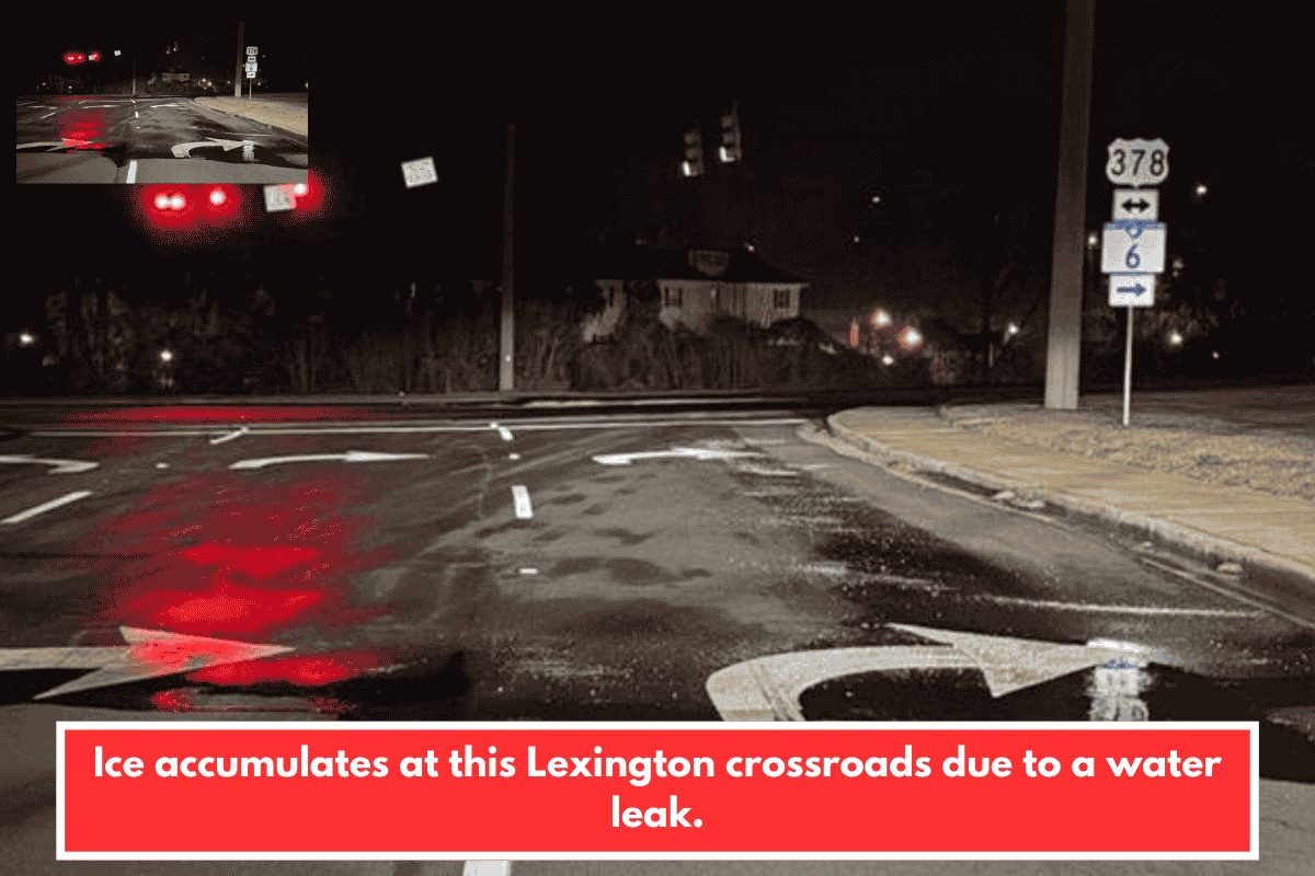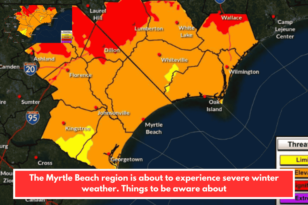
The National Weather Service forecasts a significant winter weather event hitting the Myrtle Beach area (Grand Strand) this weekend, with high confidence in ice and sleet accumulation peaking late Saturday into Sunday. This echoes rare events from February 2014 and 2015, when up to 0.25 inches of ice built up, but this one stands out due to prolonged freezing temperatures that will keep ice in place for days.
Expect light rain Friday transitioning to a wintry mix Saturday, including sleet, freezing rain, and possible initial snow flurries (though snow accumulation is unlikely). Cold air lingers into next week, with near-record lows Monday night and sub-normal temps through Tuesday, raising risks of frostbite and hypothermia.
Travel and Power Risks
- Hazardous driving: Worst from Saturday night through Monday night due to ice on roads.
- Power outages: Likely Saturday-Sunday from ice weighing down tree branches and power lines.
- Preparation tips: Stock vehicles with phone chargers, spare tire, jumper cables, extra gas, warm clothes, flashlights, snacks, blankets, snow tools, and sand/kitty litter for traction. Clear vehicles fully, drive slowly, and maintain distance.
Safety Recommendations
Layer up with 3+ upper layers (including one insulating), 2 pants layers, warm hat/face covering, gloves, waterproof boots, and a windproof outer layer. Avoid unnecessary outdoor exposure, especially at night.
This setup could disrupt local travel, events, and services in Horry County—check SCDOT for road updates and Santee Cooper for outage alerts. Stay tuned to NWS Wilmington for refinements as details firm up. How are you planning to prepare?