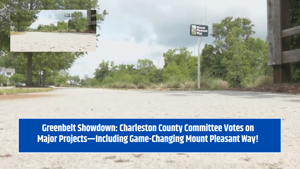
Mount Pleasant, S.C. – A big step toward safer, more connected communities is in motion as Charleston County’s Greenbelt Committee considers a request for over $1 million in funding to expand the Mount Pleasant Way. The proposed project would extend the town’s multi-use path along Rifle Range Road, connecting more neighborhoods to schools, parks, and green spaces.
This funding, already allocated to Mount Pleasant through the county’s transportation sales tax, would be used specifically for purchasing land rights and easements necessary to build the new section of the trail.
What’s the Mount Pleasant Way Expansion?
The expansion focuses on two miles of Rifle Range Road, stretching from Ben Sawyer Boulevard to Venning Road. The trail is designed to be about 10 to 12 feet wide, similar to the existing multi-use path. This new stretch will offer a safe and scenic route for pedestrians and bicyclists, improving connectivity between neighborhoods, schools, and recreational facilities.
Why Is This Project Important?
James Aton, the town’s Deputy Director of Capital Projects and Transportation, emphasized that the project is part of the town’s larger safety and master plan, and it builds on previous investments in green space infrastructure. This trail has already secured federal funds under the USDOT “Safe Streets and Roads for All” grant, which will support its design and construction.
“This project is incredibly important. It connects to two major schools, several parks, and expands on past Rifle Range and Ben Sawyer allocations,” Aton said. “It’s a critical piece in the larger pedestrian and bike network.”
The project is also seen as a smart way to make use of existing utility easements, reducing land acquisition costs and speeding up development.
Community Input and Considerations
While the town is excited about the expansion, it’s also listening closely to local residents. Community meetings have already been held, and Aton noted that nothing is set in stone yet. Public feedback is being considered carefully to ensure that the trail adds value without disrupting neighborhoods.
Connecting People Without Cars
Charleston County’s “hub and spokes” system aims to reduce dependence on cars by creating well-planned routes that lead from residential “hubs” to parks, schools, and other “spokes” of daily life.
“This type of project is exactly what we look for in greenbelt investment,” said Eric Davis, the county’s Director of Housing and Land Management. “It encourages walking and biking, keeps our towns more livable, and helps people get to places they enjoy—without needing to drive.”
Around 16% of Mount Pleasant residents live along Rifle Range Road, making this trail a valuable asset for local families, students, and nature lovers.
What’s Next?
The Greenbelt Committee meets twice a year to review projects, and Mount Pleasant’s request is on the agenda. If approved, the town can move forward with purchasing the easements needed to extend the trail and begin the next phase of development.
This project shows how strategic planning and smart funding can improve community life by creating spaces that are healthy, connected, and accessible for all.
The Mount Pleasant Way trail expansion is more than just a path—it’s part of a vision for a safer, greener, and more connected town. With strong community support, federal backing, and a clear place in the town’s long-term plan, this project is a smart move toward a healthier lifestyle and improved local mobility. If approved, it will offer more residents the freedom to walk or bike to school, parks, and beyond—making everyday life just a little easier and a lot more enjoyable.