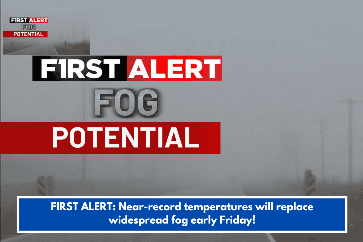
This forecast points to a warm finish to the week with fog as the main hazard, transitioning to windier, cooler conditions over the weekend. Dense fog could disrupt Friday and Saturday morning commutes, while record-challenging highs hit mid-to-upper 70s inland before a cold front drops temps sharply by Sunday.
Travel and Safety Alerts
- Dense Fog Advisories: Expect visibility under 1/4 mile overnight into Friday and possibly Saturday mornings. Inland counties likely affected—drive cautiously, use low beams, and allow extra time.
- Weekend Winds: Gusts of 25-35 mph start Saturday evening, peaking after the front passes Saturday night. Secure outdoor items and watch for coastal impacts.
- Light Rain: Low chances late Saturday into Sunday, but not heavy—mostly a nuisance ahead of the front.
Temperature Outlook
| Day | High (Inland/Coast) | Low | Conditions |
|---|---|---|---|
| Tonight | – | 50s | Fog likely, dense possible |
| Friday | 77 / 60s | 58 | AM fog, then sun & clouds |
| Saturday | 77 / 60s | 59 | AM fog, sun & clouds; overnight showers |
| Sunday | 64 / mid-60s | 33 | Stray showers, breezy, decreasing clouds |
Quick Tips for the Week
Stay updated via the National Weather Service or local apps like NOAA Weather Radar. With your interest in Charleston-area events, note that fog might delay outdoor activities—perfect weekend for indoor spots like historic museums if winds pick up. Frost risk returns early next week, so protect any sensitive plants. Anything specific you’re planning around this forecast?