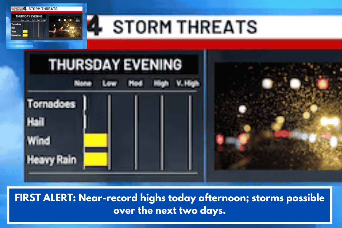
Temperatures across Charleston will climb into the upper 70s and lower 80s this afternoon, with slightly cooler conditions along the coast. Today’s record high of 82 degrees, set in 1991 and again in 2018, could be challenged as springlike warmth settles over the area.
Scattered Showers Develop This Afternoon
Despite the warm temperatures, a few scattered showers and thunderstorms are expected to develop through the afternoon hours. While not everyone will see rain, brief downpours and isolated storms could interrupt outdoor plans.
Widespread Storms Expected Saturday
Storm chances will increase significantly on Saturday as a cold front approaches the region. The greatest coverage of storms is expected between 3:00 p.m. and 7:00 p.m., when widespread activity could bring heavy rain, gusty winds, and lightning before cooler air arrives behind the front.