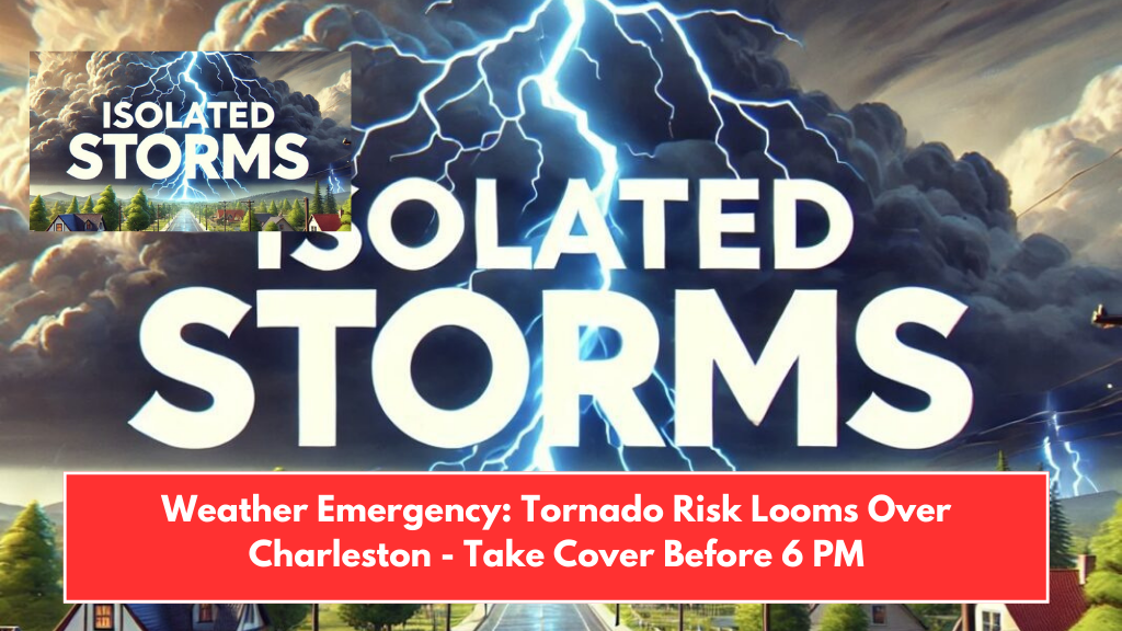
Parts of Charleston, Dorchester, Colleton, and Berkeley Counties are under a severe weather warning this afternoon, with isolated thunderstorms bringing damaging winds and large hail. The National Weather Service (NWS) has issued an advisory warning for the risk of severe storms between 2 p.m. and 6 p.m. today.
Areas Affected by the Storm
According to the NWS, the storm system is expected to develop primarily to the north and west of Charleston, affecting areas such as:
- Summerville
- Walterboro
- Beaufort
The main hazards include damaging straight-line winds and large hail, which could cause damage to property and vehicles. Additionally, there is a risk of ground-to-ground lightning strikes.
Safety Tips for Residents
Residents in the affected areas are urged to take the following precautions:
- Secure loose outdoor items that could be blown away by the strong winds.
- Stay indoors and avoid going outside unless absolutely necessary.
- Stay away from trees and power lines to reduce the risk of injury from falling branches or live wires.
- Refrain from non-essential travel during the storm, as roads may be hazardous.
Authorities also advise everyone to remain weather-aware throughout the afternoon and monitor updates on the storm’s progress.
Storm Threat to Diminish by 6 p.m.
The risk of severe weather is expected to decrease by 6 p.m., but additional advisories or warnings may be issued if conditions worsen. Stay updated with the latest weather alerts to ensure you are prepared for any changes.
With severe thunderstorms expected to impact parts of Charleston and surrounding counties, residents are urged to take necessary precautions to stay safe. Secure outdoor items, avoid unnecessary travel, and stay indoors until the storm passes. Keep an eye on local weather updates for any new developments.