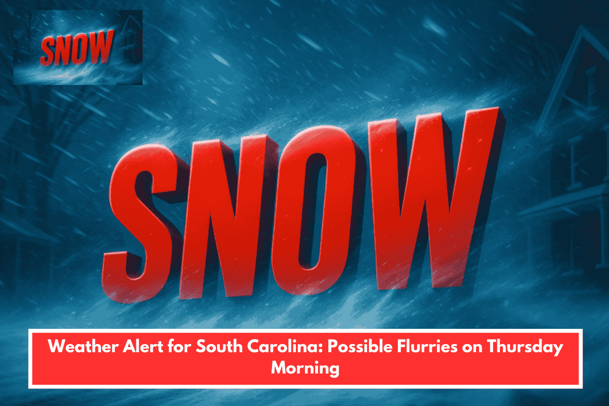
A strong cold front will bring sharply colder air and possible brief snow flurries or light snow showers to central South Carolina, especially early Thursday morning in the northern Midlands. No significant accumulation or travel disruptions are expected, as surface temperatures stay near or above freezing with limited moisture.
Timing and Coverage
Flurries have the best chance overnight Wednesday into early Thursday, driven by cold air damming behind the front overlapping with residual moisture. Impacts remain minimal, with any activity short-lived and mostly flakes mixed with rain.
Temperature Outlook
Highs drop to the low 40s Thursday amid gusty winds, with wind chills in the 20s-30s; overnight lows reach the upper teens to low 20s. This ushers in a below-normal pattern for the region.
Precautions
Monitor updates from the National Weather Service, bundle up for early morning chill, and prepare for drier, colder conditions ahead. No hazardous roads anticipated.