It’s a mild morning in Savannah and across the Coastal Empire and Lowcountry, with temperatures in the upper 50s and lower 60s. Afternoon highs today will climb into the upper 70s with a spotty shower or two possible. Breezy conditions are expected, with wind gusts near 20 miles per hour.
Above-average warmth continues Friday, with morning lows near 60 degrees and highs reaching the lower 80s. The record high of 84 degrees set in 1991 will be within reach. Gusts between 20 and 25 miles per hour are likely, and scattered showers may develop late in the day into the evening, though many areas could remain dry.
Unsettled Weekend with Showers and Storms
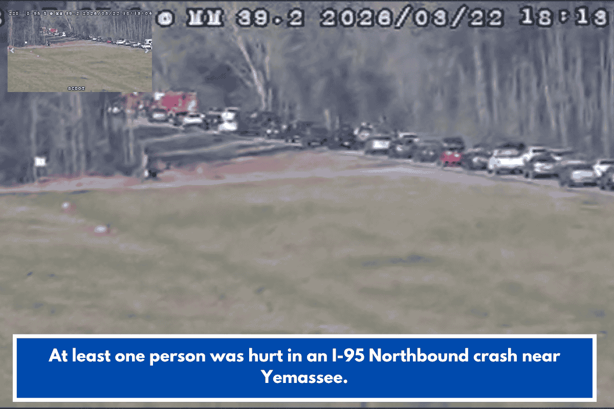
A cold front approaching the region will bring a more unsettled weather pattern this weekend. Saturday will be warm, with highs near 80 degrees ahead of the front. Widespread showers and a few thunderstorms are possible, especially late afternoon into the evening. While widespread severe weather is not expected, gusty winds and lightning may accompany stronger storms. A marginal risk for severe weather exists across the area.
Some lingering moisture may continue into Sunday morning. Cooler air will move in, keeping highs in the upper 60s. Sunday will also be windy, with gusts between 25 and 30 miles per hour.
Colder Air and Freezing Mornings Early Next Week
Much colder air arrives to start the new work week. Monday morning temperatures will fall into the low to mid-30s, with afternoon highs only in the low to mid-50s. Clear skies Monday night will allow temperatures to drop further.
Freezing temperatures are likely along and west of I-95 on Tuesday and Wednesday mornings. Warmer conditions are expected to return beginning Thursday and into next weekend.
Forecast provided by Meteorologist Andrew Gorton.