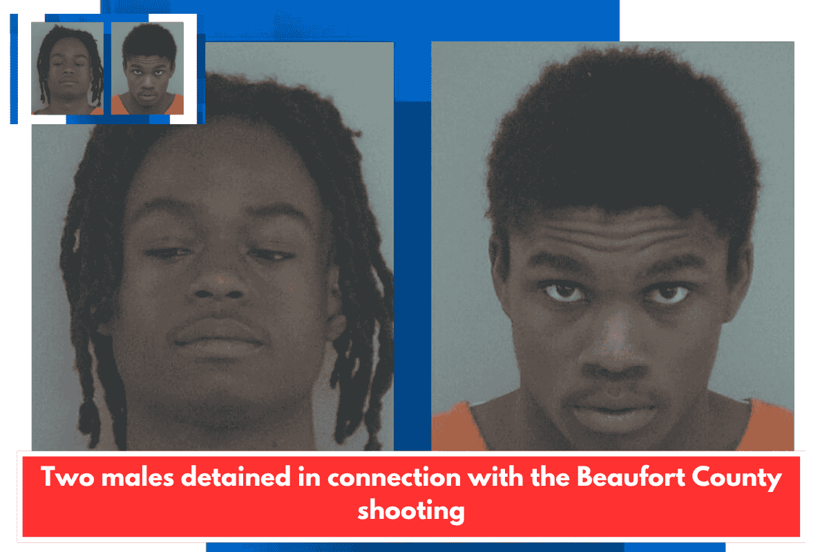
Summerville, S.C., has released a new Safety Action Plan that uses five years of crash data to pinpoint where collisions are most serious, who is most at risk, and what factors are driving them. The town recorded more than 11,000 crashes during that period, most of them minor, but the plan focuses on the patterns behind the most severe ones.
Where and how serious crashes cluster
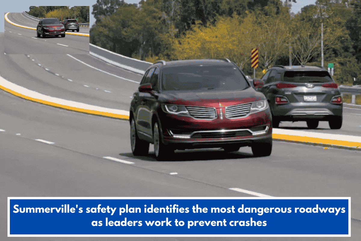
- Nearly half of all fatal and serious‑injury crashes are concentrated on six corridors: U.S. 17A, North Main Street, South Main Street, Berlin G. Myers Parkway, Old Trolley Road, Dorchester Road, Central Avenue, and Bacons Bridge Road.
- These are typically high‑speed, high‑volume roadways where traffic volume and speed combine to increase the risk of serious collisions. The data also shows that most of the worst crashes happen during afternoon and early evening peak travel times, often at intersections with heavy turning movements and congestion.
Risks for pedestrians, cyclists, and other road users
- The plan highlights that crashes involving pedestrians and cyclists, while a smaller share overall, are more likely to result in serious injury or death.
- Town officials say the plan intentionally looks beyond just cars, addressing sidewalks, bike lanes, and other travel modes to improve safety for everyone using the road network.
Role of speed, design, and connectivity
- Many of the high‑crash corridors are designed to move large volumes of traffic quickly, which can make them especially dangerous for people on foot or on bikes trying to cross or share the road.
- Bike Walk Summerville’s Christopher McClure points out that even existing sidewalks and bike routes often don’t connect key destinations, making it hard to walk or bike safely to work, school, or shopping.
Community input and next steps
- The town is using public feedback—including perceptions of “unsafe‑feeling” areas, lighting, and missing crossings—alongside hard data to shape the plan.
- The next phase will focus on short‑term measures like better signage and striping, plus longer‑term infrastructure projects such as safer crossings, protected bike lanes, and improved intersection design. A public survey remains open through the end of the month and will help determine which projects move forward.