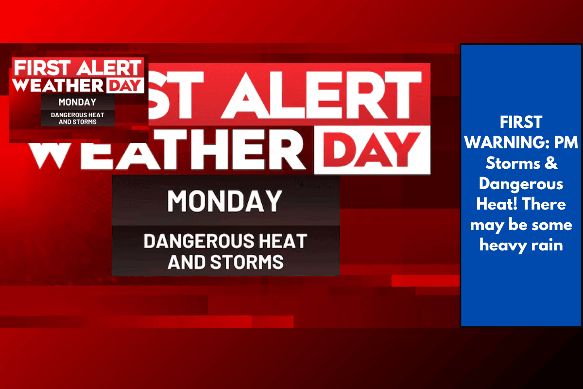
Today in Charleston, tropical moisture, an afternoon sea breeze, and a backdoor cold front will come together, causing widespread storms in the afternoon and evening. Temperatures will rise into the low to mid-90s by lunchtime, with heat index values potentially exceeding 105°F in some areas. Storms are expected to develop quickly, with heavy rainfall that could cause street flooding in some spots. These storms may last into the evening before gradually dissipating later tonight.
Forecast for the Rest of the Week:
After today, fewer storms are expected for the remainder of the week, though there will still be a daily chance of rain. Highs will drop slightly to around 90°F on Wednesday before climbing back to the mid-90s by the weekend.
Daily Forecast:
Today: AM sun, PM clouds, with afternoon/evening storms. High of 93°F.
Wednesday: Sun and clouds, scattered rain/storms. High of 89°F.
Thursday: Sun and clouds, scattered rain/storms. High of 91°F.
Friday: Partly cloudy with isolated PM storms. High of 92°F.
Saturday: Partly cloudy with isolated PM storms. High of 95°F.
Sunday: Partly cloudy with isolated PM storms. High of 96°F.
Be prepared for potential storms this afternoon and keep an eye on the weather as the week progresses.