Charleston, South Carolina – The tropics are heating up, but it is unclear whether the Lowcountry will be impacted by current systems in the Atlantic.
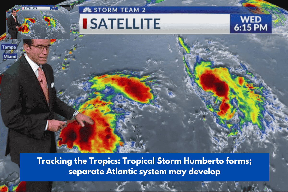
Tropical Storm Humberto, previously known as Invest 93, formed on Wednesday afternoon.
A second unidentified storm, Invest 94-L, is slightly closer to the East Coast but not as well organized.
Humberto has winds of 45 mph and is moving west-northwest, with the National Hurricane Center’s (NHC) first forecast track indicating that the storm has the potential to become a hurricane.
Based on their positions, the two systems are at least four to seven days distant from the coast, which is within the low confidence range for worth watching.
Invest 94-L has the potential to become Imelda, but spaghetti models for its route are ‘all over the place,’ according to Storm Team 2 Chief Meteorologist Rob Fowler.
The latest predicted course for Invest 94-L is shown below.
Fowler feels Invest 94-L has the best chance of providing consequences to the Charleston area; however, what these impacts will be, if any, is unknown.
As for where Invest 94 is on Wednesday, “This wave is forecast to proceed west-northwestward at 10 to 15 mph, spreading heavy rains and gusty winds across Puerto Rico and the Dominican Republic until early tomorrow. When the system approaches the southwestern Atlantic, it is expected to slow down and veer northwestward. A tropical depression is predicted to form as the disturbance passes near the Bahamas late this week, according to NHC data.
Hurricane hunters did capture data from Invest 94 and Humberto, which will be used in hurricane models to generate a more accurate picture of the storms’ impacts.
Hurricane Gabrielle is moving towards Europe, potentially affecting Portugal and Spain.