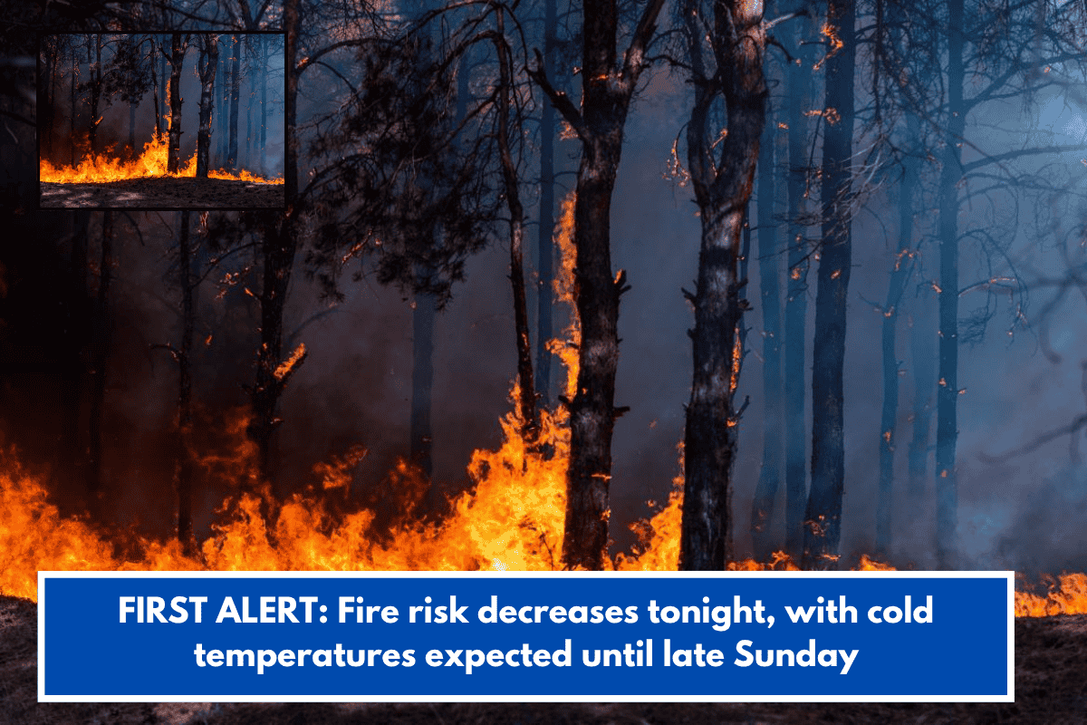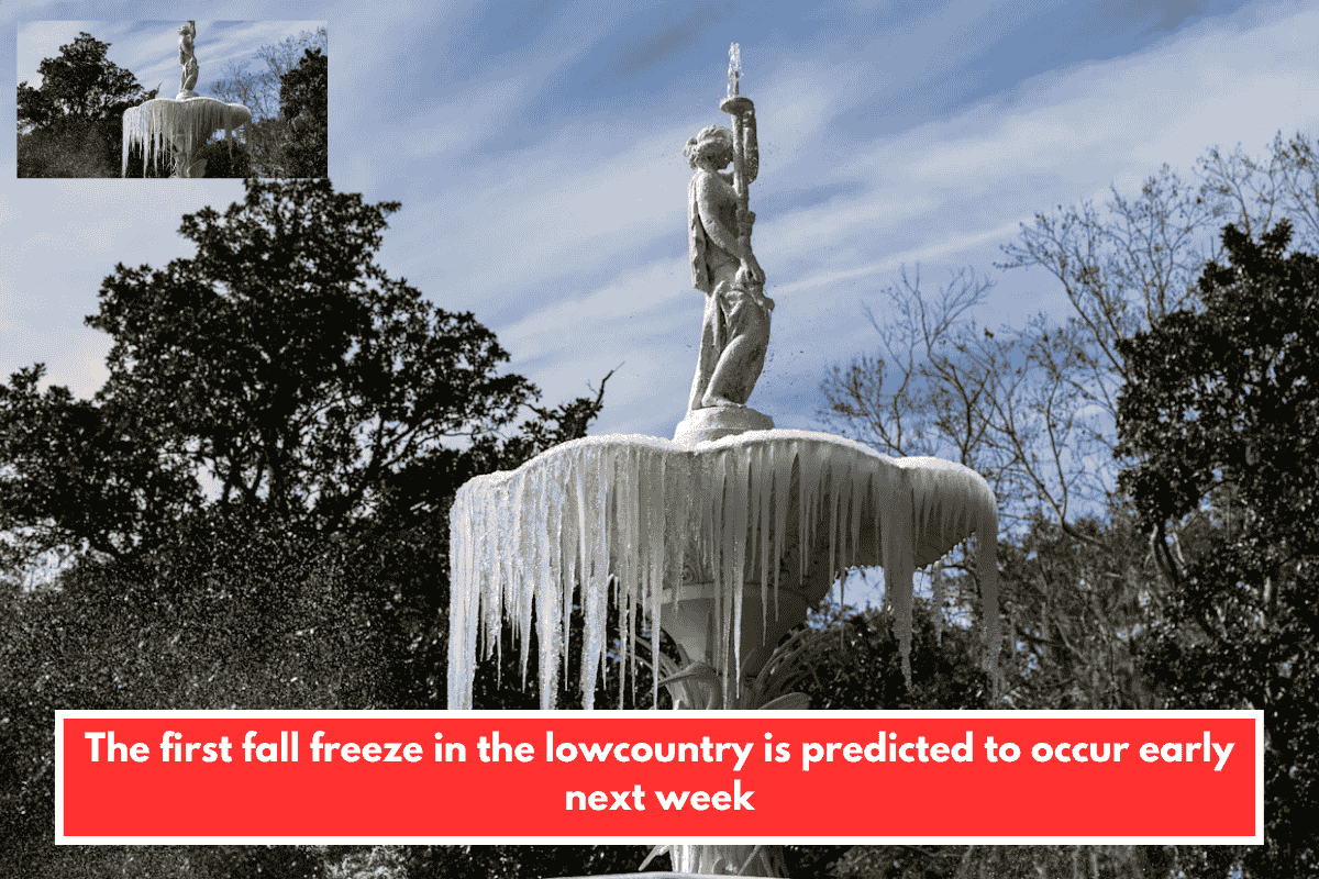
The lowcountry could see its first fall frost as early as next week.
The National Weather Service (NWS) predicts a widespread freeze on the southeast coasts of South Carolina and Georgia from Monday night until Tuesday morning.
A strong cold front will move across the region on Monday morning, followed by a 20% chance of rain on Sunday afternoon, according to the NWS Charleston station’s Thursday weather briefing.
The NWS anticipates Savannah’s Monday low to be 34˚F and a high of 54˚F, slightly above freezing. The following night’s low will most likely be a few degrees warmer. On Thursday, temperatures will reach a sunny high of 70˚F.
According to the National Oceanic and Atmospheric Administration’s 1991-2020 U.S. Climate Normals, Savannah’s first fall frost typically occurs on November 21. The last spring frost usually occurs around March 12.
Inland areas west of Chatham County will experience cooler weather, possibly at or below freezing.
Plant parents preparing for frost should be aware that a little freeze between 29˚F and 32˚F might damage fragile plants. The Farmers’ Almanac recommends keeping the soil moist and covering plants with newspapers, straw, or other items before sundown to trap soil heat.
Following the cold front, there will most likely be a small craft advisory on Monday for gale force gust winds of up to 30 knots (34 miles per hour).