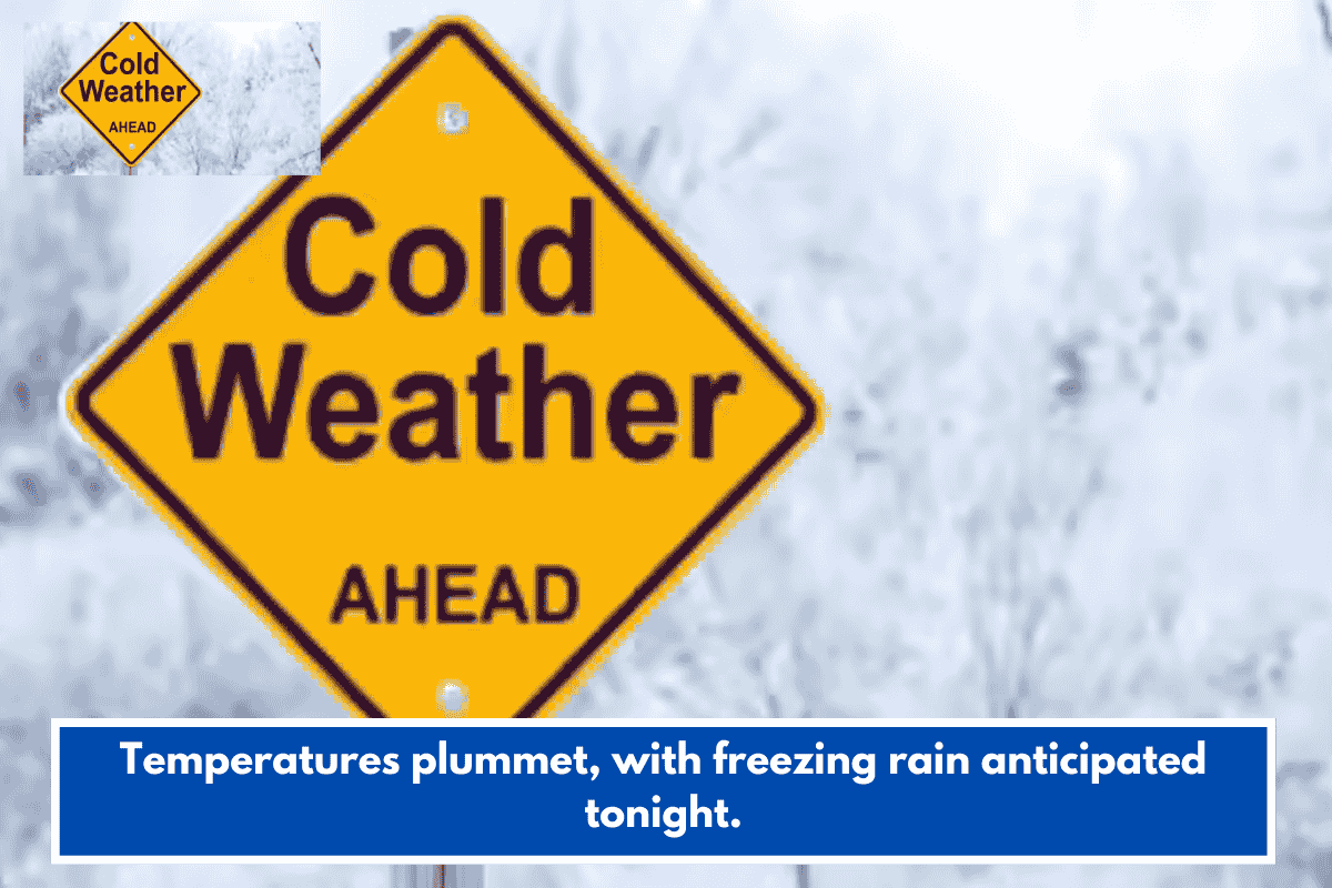
Freezing rain is intensifying across the Myrtle Beach area tonight, with an Ice Storm Warning for Darlington, Marlboro, Dillon, and Robeson counties due to potential quarter-inch-plus ice accumulations west of I-95.
Current Conditions
Temperatures hover below freezing under northeasterly gusts over 20 mph, dropping wind chills to the 20s; coastal spots from beaches to the Intracoastal Waterway see mostly cold rain, though low 30s temps raise icing risks on bridges and overpasses.
Sunday Outlook
Wintry mix tapers with afternoon breaks as a warm front lifts temps above freezing by evening—Pee Dee into 40s, coast to 50s—before a late-night moisture surge ends as liquid rain. A sharp inland-coastal gradient will emerge.
Monday Forecast
Morning peaks warmest post-front, then cools to upper 30s inland and low 40s coast by afternoon; nights plunge to upper teens inland and near 20°F coastal with 10-20° wind chills. Dry, frigid conditions persist through week’s end.