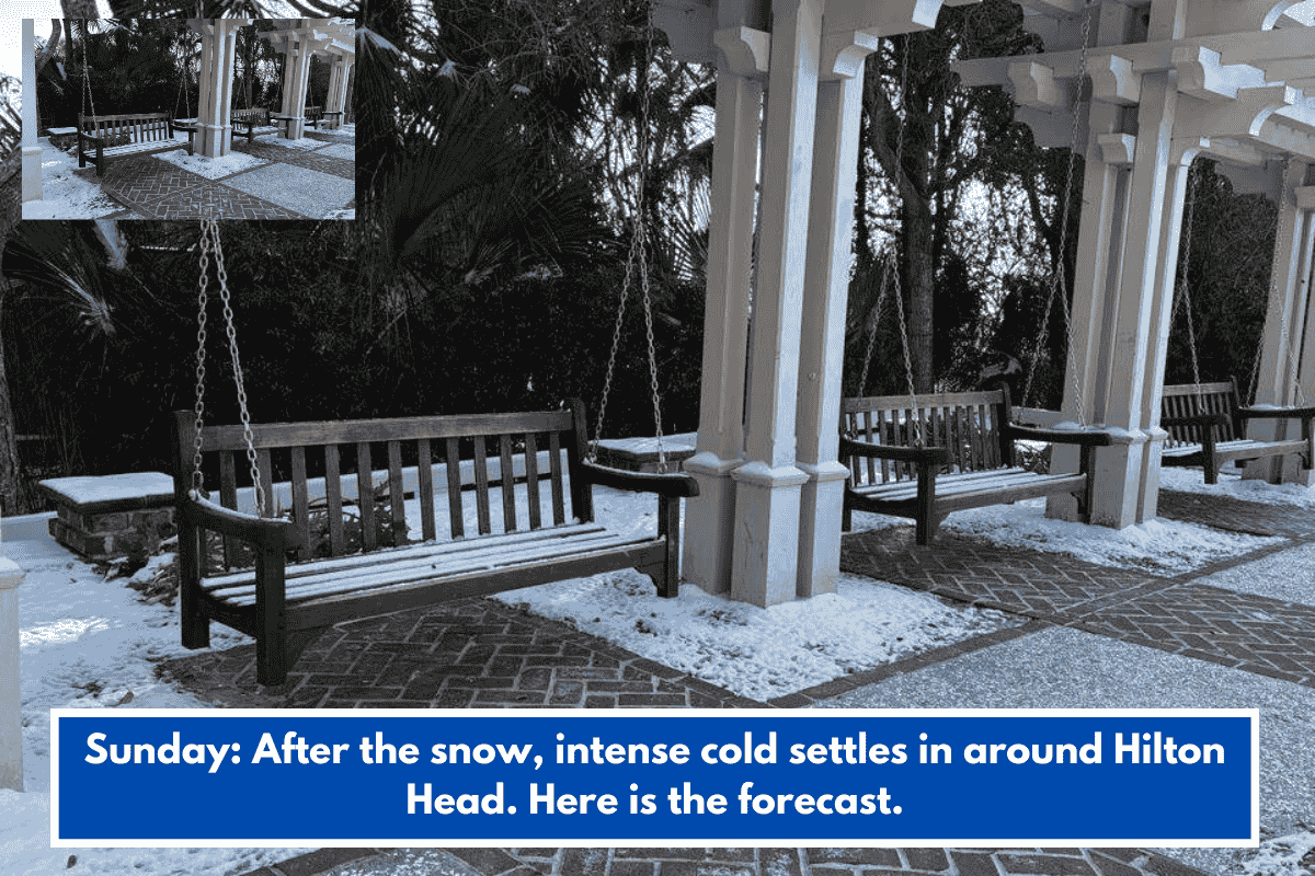
Lowcountry residents faced rare snow and extreme cold over the weekend, with advisories from the National Weather Service Charleston. Conditions included hazardous travel from black ice and wind chills dropping near single digits.
Key Warnings
An Extreme Cold Warning lasted until 1 p.m. Sunday, February 1, with lows around 21°F in Beaufort and wind chills as low as 6°F early Sunday morning. A Winter Weather Advisory ran until 10 a.m. Sunday, warning of black ice risks.
Sunday Forecast
Daytime highs reached only 36°F under sunny skies, aiding snow melt as winds eased. Sunday night stayed chilly, with refreezing snow creating overnight ice risks into Monday.
Monday Outlook
Monday brought sunnier, warmer conditions with highs near 44°F and morning lows around 25°F (wind chill 18°F). This supported further melting, though untreated surfaces remained hazardous.