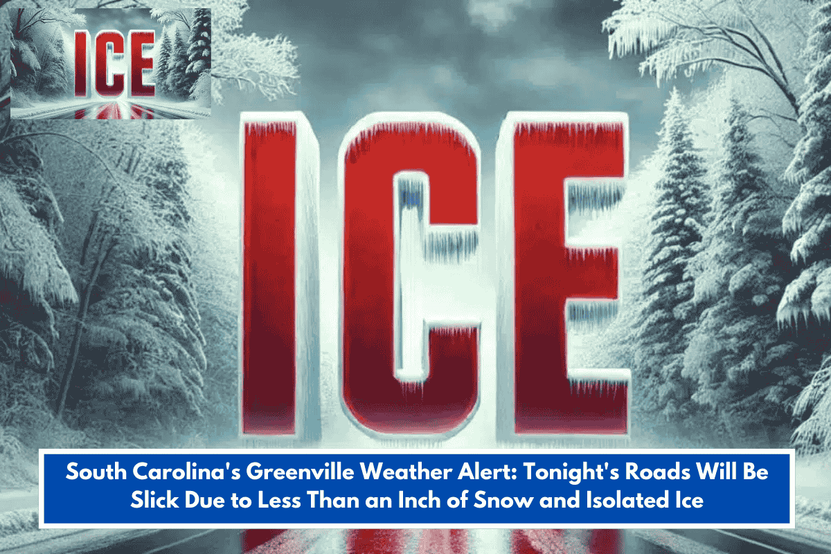
Drivers in the Greenville, South Carolina area face a second round of wintry weather late tonight into early Sunday, January 19, 2026, with a light rain-snow mix potentially creating slick spots on roads. The National Weather Service warns of light snow accumulations under 1 inch, mainly east of the mountains and along I-85, alongside risks of refreezing on bridges and overpasses.
Key Impacts
Lingering snow and ice from the morning’s first round persist in higher Blue Ridge elevations, while colder air overnight heightens slick patch risks on roads like I-85, I-385, and U.S. 123. Precipitation should clear by Sunday morning, minimizing prolonged effects.
Safety Advice
Slow down, exercise caution on elevated roadways, and stay weather-aware as conditions shift rapidly overnight. Grassy surfaces may see brief coatings, but travel disruptions remain limited due to low totals.