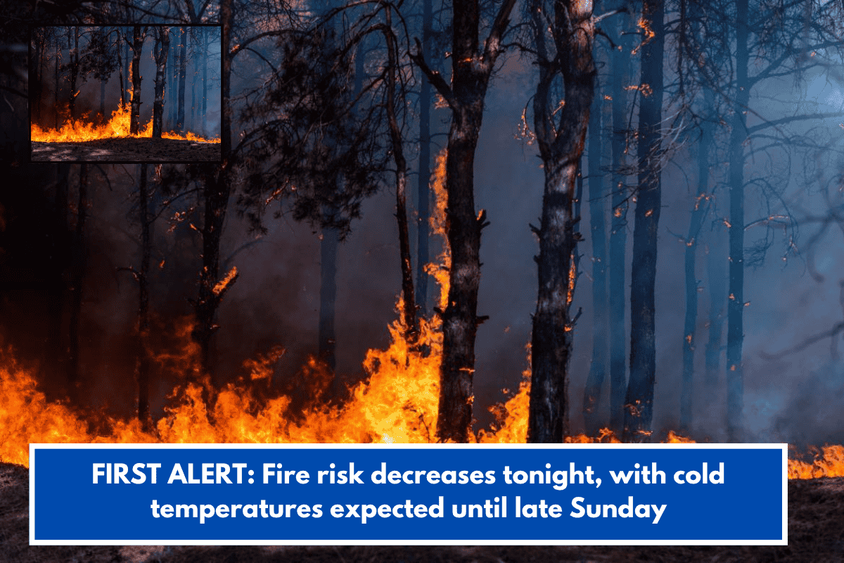
Residents in Lowcountry are experiencing dry, cool, and breezy weather this weekend, which has increased the risk of wildfires across the region. While conditions were more serious earlier, there is now some improvement, although caution is still required.
Fire Risk Still Present but Slightly Lower
Earlier, Red Flag Warnings were in place, but these have now been replaced with a Fire Weather Statement for Sunday. This means that while the situation is not as severe, there is still a risk of fires spreading due to dry conditions.
A statewide burn ban remains active across South Carolina, and residents are advised to avoid any outdoor burning until further notice.
The main reason for the improved conditions is the reduction in wind speed. By Sunday morning, winds are expected to slow down to around 5 to 10 miles per hour in inland areas, thanks to high pressure building over the region.
Coastal Safety Concerns Continue
While inland areas are seeing calmer winds, coastal regions are still facing stronger conditions. A High Surf Advisory remains in effect until Sunday morning for Charleston, Beaufort, and parts of Colleton County.
Winds along the coast may reach up to 25 to 30 miles per hour, making swimming and surfing dangerous. Conditions are expected to improve gradually by midday Sunday as winds begin to settle.
Cool Start, Pleasant Day Ahead
Temperatures are expected to drop into the low 40s early Sunday morning, with some areas outside the Charleston Tri-County region possibly seeing mid to upper 30s.
Despite the chilly start, the day will be comfortable, with temperatures rising to the 60s or near 70 degrees. Skies will remain partly to mostly sunny, making it a calm and pleasant day overall.
Warmer Days Coming Soon
Looking ahead, the weather is set to warm up from Monday onwards. As high pressure moves offshore, winds will shift and bring warmer air into the region. By midweek, temperatures are expected to rise into the low to mid 80s, which is above the usual average for late March.