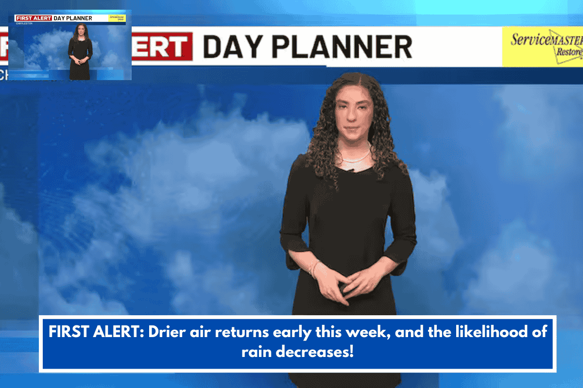
The unsettled weather from the weekend in Charleston, S.C., is moving away, with most rain now offshore by early Monday. Expect patchy low clouds and mist through Monday morning, with temperatures in the upper 30s to 40s. A weak disturbance may bring a few light showers Monday morning, but rainfall will be minimal.
By Monday afternoon, skies will gradually clear, and partial sunshine will return. Highs will be in the upper 40s to low 50s. For the rest of the workweek, dry and sunny conditions will dominate as high pressure builds in. Temperatures will be below average, with possible sub-freezing lows Tuesday night.
Looking ahead to next weekend, a stronger cold front may bring showers Friday and Friday night, with highs in the 40s or low 50s on Saturday and Sunday. Inland areas could experience a widespread freeze each morning during that period.
TONIGHT: Patchy Low Clouds. Spotty Showers/Mist. Lows: Upper 30s & 40s.
MONDAY: Sun & Clouds. AM Showers Possible. High 52, Low 32.
TUESDAY: Sunny Sky. High 50, Low 33.
WEDNESDAY: Mainly Sunny. High 61, Low 44.
THURSDAY: Mostly Sunny. High 63, Low 45.
FRIDAY: Mostly Cloudy. Small Rain Chance. High 62, Low 40.