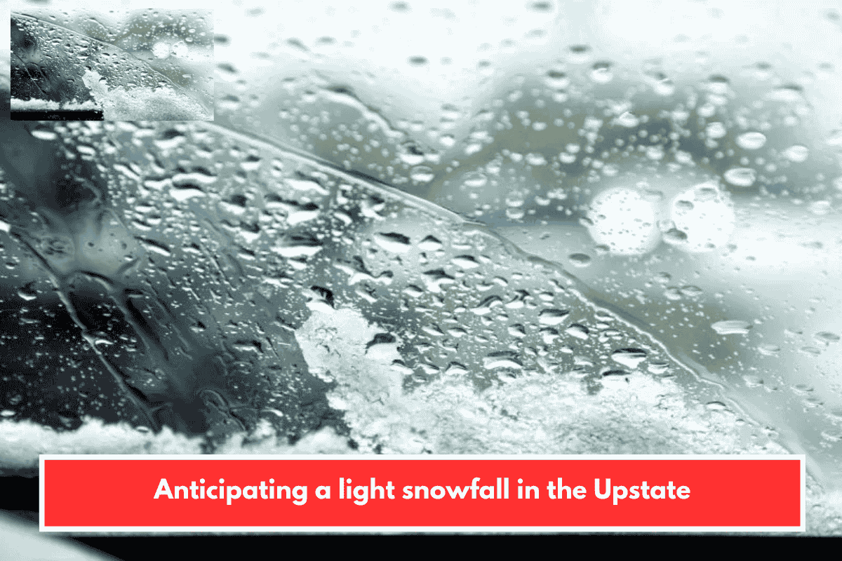
This forecast outlines a chilly weekend shift starting Saturday night, with mixed precipitation transitioning to possible snow accumulations Sunday morning. Key details focus on the Lowcountry’s neighboring Upstate region (e.g., Greenville-Spartanburg area) and adjacent mountains, where you’re likely tracking impacts for travel, events, or community plans.
Saturday Night into Early Sunday
- Precipitation onset: Rain showers hit the Upstate after midnight, potentially mixing with snow in foothills (trace to 1 inch accumulation).
- Temps: Lows in low 30s (Upstate), dipping to low 20s in mountains—cold enough for slippery roads overnight.
- Western NC: Drier by mid-morning Sunday, but monitor for lingering effects if heading west.
Sunday Morning to Afternoon
- Upstate snow chances: Dusting widespread; 1-2 inches possible in Greenwood, Laurens, and Union counties through midday.
- Transition: Dry by lunchtime, with highs reaching low 40s (Upstate) or low/mid 30s (mountains).
- Uncertainty factor: Near-freezing temps mean outcomes hinge on exact atmospheric cold—colder air boosts snow across Upstate; warmer favors rain.
| Area | Expected Snow | Temps (High/Low) |
|---|---|---|
| Upstate | Dusting to 1-2″ (localized) | Low 40s / Low 30s |
| Foothills | Trace to 1″ | Low 40s / Low 30s |
| Mountains (WNC) | Light showers possible | Low/mid 30s / Low 20s |
Potential Impacts and Prep Tips
Roads could get slick Sunday morning, especially rural routes in Laurens/Union counties—check SCDOT or WYFF for updates. With your interest in local events and hiking, bundle up for any outdoor plans; trails may see minor accumulations. If this affects Lowcountry travel (e.g., to Upstate concerts or festivals), expect cooler air spilling southeast by evening.
Stay safe—any specific plans this weekend I can help check against the forecast?