Charleston, South Carolina – What was a lovely weekend in the Lowcountry will become very cold on Monday and Tuesday.
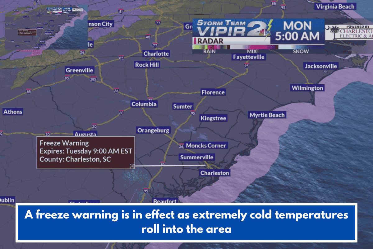
The National Weather Service in Charleston issued a “freeze warning” from 9 p.m. Monday to 9 a.m. Tuesday, ahead of a surge in very cold temperatures that began to move into the region overnight.
A “cold weather advisory” is also in effect for parts of the Lowcountry between midnight Monday and 8 a.m. Tuesday.
Forecasters predict temperatures in the mid to high 20s inland, with low-to-mid 30s closer to the coast Monday night and early Tuesday morning. We might struggle to reach 50 degrees on Tuesday afternoon.
“By Monday, high temperatures will only reach the low to mid 50s, with lows in the low to mid 30s on Tuesday and Wednesday mornings. Some regions far from the coast may see lows in the upper 20s on Tuesday morning. “And many may ‘feel like’ the 20s when you factor in the wind,” Storm Team 2 Meteorologist Brant Beckman stated.
Temperatures will begin to rise by midweek and throughout the weekend.
THINGS 2 REMEMBER
- Bring your pets inside, especially overnight.
- If you are outside, dress in layers and try to stay warm.
- Protect exposed pipes from freezing; wrap them or allow them to slowly drip.
- Cover sensitive plans; the frost and freeze could harm or kill crops and other sensitive vegetation. People should take steps to protect tender plants from the cold.