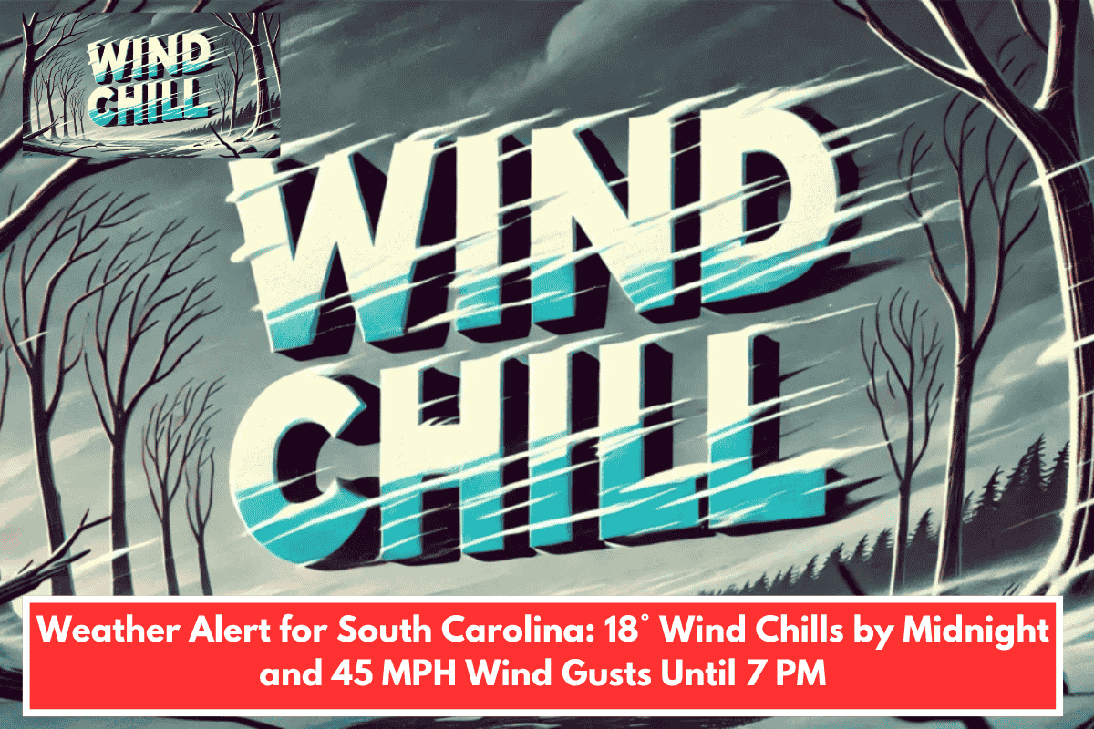
A Wind Advisory remains in effect until 7 p.m. EST Sunday for parts of Charleston and surrounding areas, according to the National Weather Service office in Charleston. Northwest winds of 20 to 30 mph, with gusts up to 45 mph, are expected to continue through the afternoon. These strong winds could snap small tree limbs and lead to isolated power outages. Motorists traveling across the Arthur Ravenel Jr. Bridge or along I-26 may experience hazardous crosswinds, especially in exposed areas.
Cold Weather Advisory Begins at Midnight
A Cold Weather Advisory will take effect at midnight and continue through 9 a.m. Monday as wind chills fall sharply. Inland areas could see wind chills in the mid to upper teens, while coastal communities such as Hilton Head Island and Tybee Island may experience “feels-like” temperatures around 20 degrees before sunrise. In communities farther inland, including Walterboro and Statesboro, the colder air will increase the risk of hypothermia for anyone exposed to the elements for extended periods.
Safety Precautions Urged
Residents are encouraged to secure loose outdoor items before sunset and use caution while driving in windy conditions. Those heading out early Monday morning should wear layered clothing, along with hats and gloves, to guard against the dangerously low wind chills. Officials caution that additional advisories could be issued if winds remain strong or temperatures drop further overnight.