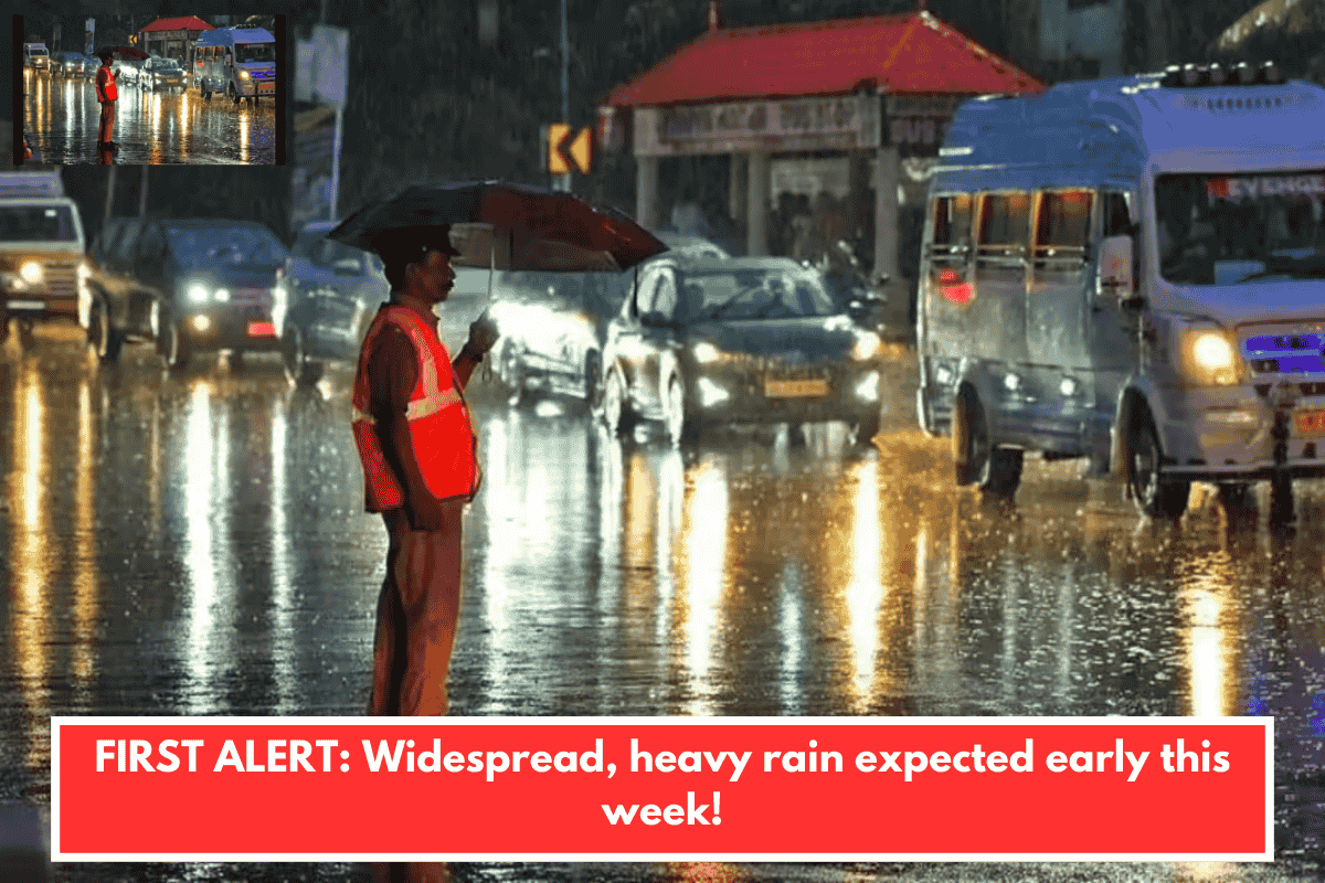
Charleston, South Carolina — A powerful, moisture-rich storm system will provide beneficial, but occasionally excessive, rains to the Lowcountry early this week!
A weakening cold front will sweep over the Lowcountry tonight, leading up to our early-week torrent. Aside from a few brief showers, most places should remain dry until Monday as drier air forms in the wake of the cold front. Monday morning lows are expected to reach the 40s and low 50s.
Monday will see overcast skies due to a developing cold air damming pattern. Daytime temperatures on Monday will be much lower than on Sunday; coastal locations may reach near 60°, while inland counties struggle to warm above the mid 40s and 50s.
Showers are expected to move into the Carolinas after sunset Monday, giving way to a steady rain after midnight. By Tuesday morning, pockets of moderate to locally heavy rainfall can be detected in the mix, with activity moving offshore late Tuesday afternoon.
Rainfall is expected to range from 0.5 to 2 inches through Tuesday evening, with potential for higher amounts in areas with training thunderstorms.
We’ll get drier on Wednesday and Thursday in preparation for another disturbance later this week. According to the most recent forecasts, our chances of rain will peak between Friday night and Saturday.
Temperatures are expected to be near or below average for at least the next seven days.