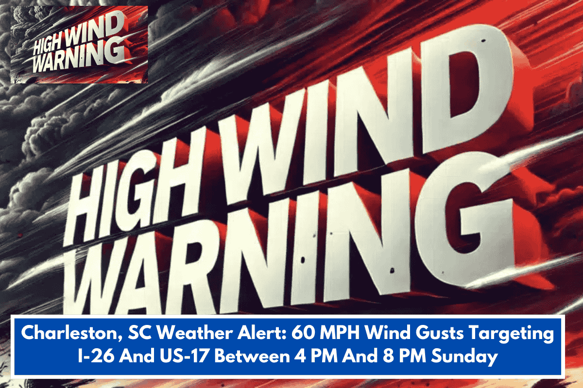
A squall line of severe thunderstorms brought a Level 2/5 slight risk to the South Carolina Lowcountry and southeast Georgia on Sunday, February 15, 2026, with wind gusts up to 60 mph posing the main threat along I-26 and US-17. The system risked downed trees, power outages, blocked roads, isolated tornadoes, and frequent lightning during evening commutes.
Timing and Areas Affected
Storms hit inland spots like Allendale and Sylvania by 2-4 p.m., reached the I-95 corridor and Charleston metro by 4-6 p.m., and lingered east of I-95—including Mount Pleasant, Summerville, and Moncks Corner—until 8 p.m. High-profile vehicles faced hazards on the Don Holt Bridge (I-526) and Ravenel Bridge (US-17).
Safety Advice
Drivers were urged to prepare for gusts; residents to secure outdoor items, charge devices, and monitor warnings via multiple channels. Seek indoor shelter away from windows if warnings issued—conditions cleared the coast Sunday night.
Current Status
As of February 16, 2026, post-event forecasts show clearing skies with highs around 64°F and lows near 42°F, no ongoing severe risks reported.